Izumiōtsu night lights from space
Night Light of Izumiōtsu (Ōsaka) from space (Japan) Src. Average luminocity for 10x10km area is 74.0367% and for 50x50km: 45.7359%.
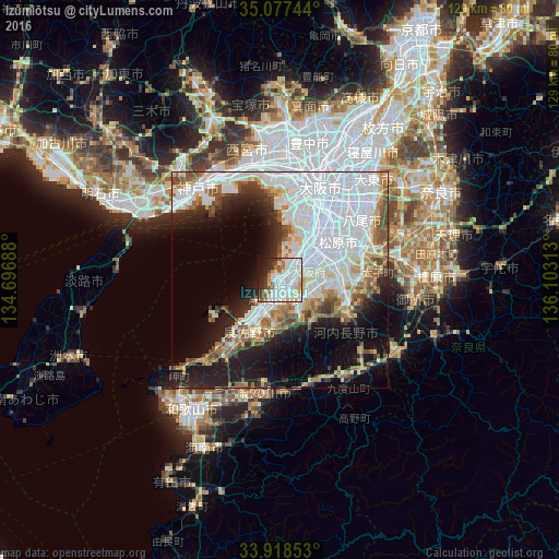
Analysis of Izumiōtsu night lights 2016
Square area 10x10 km:
 30.59%
90-99
22.03%80-89
7.52%70-79
3.67%60-69
3.67%50-59
6.29%40-49
3.67%30-39
4.9%20-29
10.66%10-19
6.12%0-9
0.87%Square area 50x50 km:
19.7%90-99
8.59%80-89
3.84%70-79
3.25%60-69
3.83%50-59
4.66%40-49
3.98%30-39
2.84%20-29
6.76%10-19
12.28%0-9
30.27%Clear (daylight) street map image can be seen on geolist.org.
Map coordinates:
35° 4' 38.8" North, 134° 41' 48.8" East
34° 30' 0" North, 135° 24' 0" East
33° 55' 6.7" North, 136° 6' 11.3" East
Some cities around Izumiōtsu sort by population:
• Sakai
11.1 km =6.9 mi,  33°
33°
• Kishiwada
4.8 km =3 mi,  219°
219°
• Tondabayashichō
18.5 km =11.5 mi,  89°
89°
• Matsubara
15.6 km =9.7 mi,  61°
61°
• Kaizuka
7.2 km =4.5 mi, 219°
• Kashihara
21.9 km =13.6 mi, 64°
• Takaishi
3.6 km =2.2 mi, 58°
• Tajiri
16.3 km =10.1 mi,  240°
240°
1861095 (p: 80,772)
Sources (retrieved 2019-11-25):
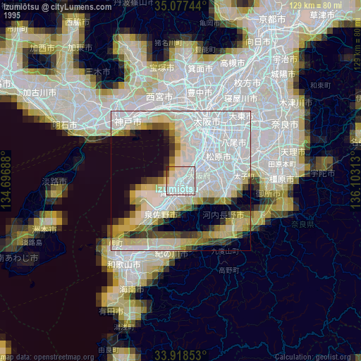
» NASA, Earths city lights 1995
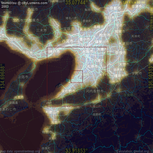
» NASA city lights 2003
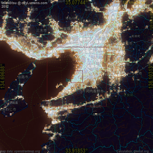
» Earth at Night: Flat Maps 2012, 2016