Tondabayashichō night lights from space
Night Light of Tondabayashichō (Ōsaka) from space (Japan) Src. Average luminocity for 10x10km area is 71.8584% and for 50x50km: 51.7184%.
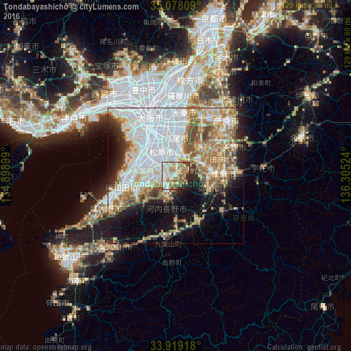
Analysis of Tondabayashichō night lights 2016
Square area 10x10 km:
 11.19%
90-99
20.1%80-89
15.03%70-79
10.66%60-69
12.41%50-59
11.01%40-49
9.62%30-39
1.75%20-29
5.07%10-19
3.15%0-9
0%Square area 50x50 km:
19.12%90-99
8.95%80-89
5.89%70-79
5.39%60-69
7.44%50-59
6.52%40-49
4.04%30-39
3.25%20-29
5.38%10-19
10.24%0-9
23.78%Clear (daylight) street map image can be seen on geolist.org.
Map coordinates:
35° 4' 41.1" North, 134° 53' 56.4" East
34° 30' 2.3" North, 135° 36' 7.6" East
33° 55' 9" North, 136° 18' 18.9" East
Some cities around Tondabayashichō sort by population:
• Sakai
15.4 km =9.6 mi,  306°
306°
• Yao
12.9 km =8 mi,  359°
359°
• Izumi
15.6 km =9.7 mi,  262°
262°
• Matsubara
8.8 km =5.5 mi,  326°
326°
• Kashihara-shi
17.5 km =10.9 mi,  86°
86°
• Kashihara
9.3 km =5.8 mi,  8°
8°
• Takaishi
15.6 km =9.7 mi,  276°
276°
• Gose
13.3 km =8.3 mi,  115°
115°
1850034 (p: 132,873)
Sources (retrieved 2019-11-25):
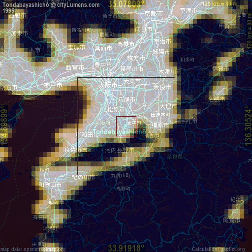
» NASA, Earths city lights 1995
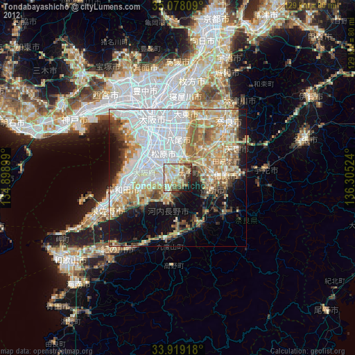
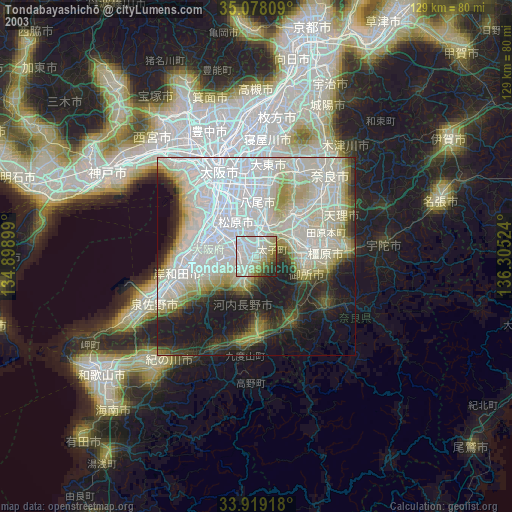
» NASA city lights 2003
» Earth at Night: Flat Maps 2012, 2016