Kushikino night lights from space
Night Light of Kushikino (Kagoshima) from space (Japan) Src. Average luminocity for 10x10km area is 8.0476% and for 50x50km: 3.7077%.
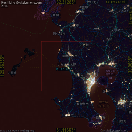
Analysis of Kushikino night lights 2016
Square area 10x10 km:
 0%
0%90-99
0%80-89
0.55%70-79
2.93%60-69
2.2%50-59
0.92%40-49
3.66%30-39
1.28%20-29
0.18%10-19
0.73%0-9
87.55%Square area 50x50 km:
0.21%90-99
0.45%80-89
0.61%70-79
0.58%60-69
0.72%50-59
0.76%40-49
0.48%30-39
0.39%20-29
1.14%10-19
1.69%0-9
92.97%Clear (daylight) street map image can be seen on geolist.org.
Map coordinates:
32° 18' 46.3" North, 129° 33' 48.8" East
31° 43' 0" North, 130° 16' 0" East
31° 6' 59.9" North, 130° 58' 11.3" East
Some cities around Kushikino sort by population:
• Kagoshima
31.6 km =19.6 mi,  121°
121°
• Satsumasendai
11.6 km =7.2 mi,  15°
15°
• Hamanoichi
44.1 km =27.4 mi,  90°
90°
• Izumi
41.8 km =26 mi,  13°
13°
• Ijūin
16.8 km =10.4 mi,  131°
131°
• Akune
33.9 km =21.1 mi,  349°
349°
• Kaseda-shirakame
33.7 km =20.9 mi,  171°
171°
• Kajiki
37.9 km =23.5 mi, 87°
1858041 (p: 25,744)
Sources (retrieved 2019-11-25):
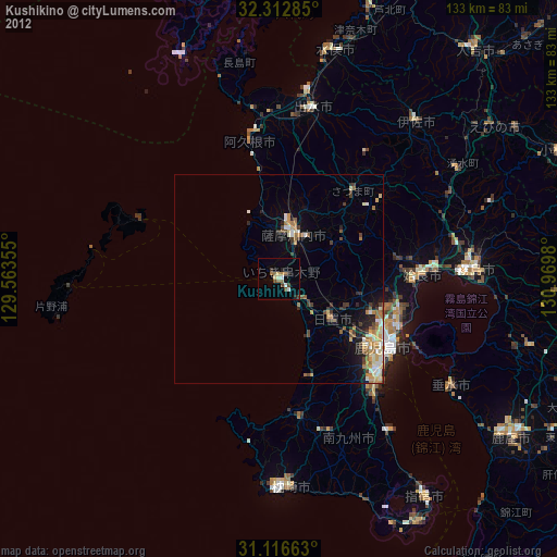
» Earth at Night: Flat Maps 2012, 2016