Satsumasendai night lights from space
Night Light of Satsumasendai (Kagoshima) from space (Japan) Src. Average luminocity for 10x10km area is 12.4689% and for 50x50km: 2.9117%.
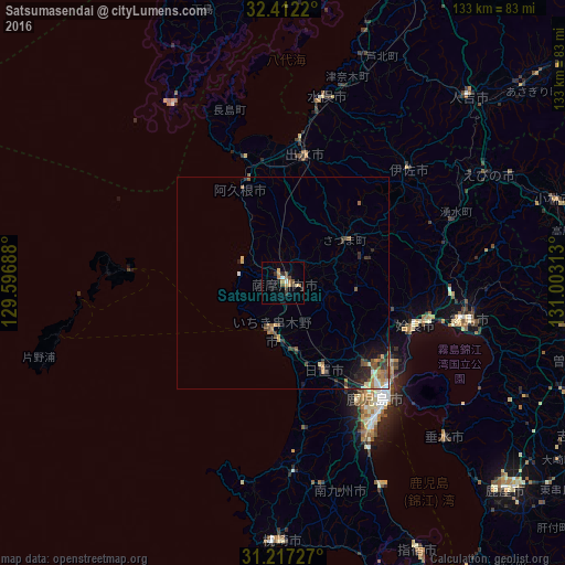
Analysis of Satsumasendai night lights 2016
Square area 10x10 km:
 0.73%
0.73%90-99
0.73%80-89
1.83%70-79
3.11%60-69
1.65%50-59
2.38%40-49
2.56%30-39
1.65%20-29
2.2%10-19
1.1%0-9
82.05%Square area 50x50 km:
0.16%90-99
0.33%80-89
0.44%70-79
0.39%60-69
0.54%50-59
0.61%40-49
0.45%30-39
0.5%20-29
0.82%10-19
1.09%0-9
94.66%Clear (daylight) street map image can be seen on geolist.org.
Map coordinates:
32° 24' 43.9" North, 129° 35' 48.8" East
31° 49' 0" North, 130° 18' 0" East
31° 13' 2.2" North, 131° 0' 11.3" East
Some cities around Satsumasendai sort by population:
• Kagoshima
36.5 km =22.7 mi,  139°
139°
• Hamanoichi
42.4 km =26.3 mi,  105°
105°
• Izumi
30.3 km =18.8 mi,  11°
11°
• Kushikino
11.6 km =7.2 mi,  195°
195°
• Ijūin
24.2 km =15 mi,  156°
156°
• Akune
24.2 km =15 mi,  337°
337°
• Kajiki
35.9 km =22.3 mi,  104°
104°
• Ōkuchi-shinohara
41.4 km =25.7 mi,  47°
47°
1852736 (p: 73,132)
Sources (retrieved 2019-11-25):
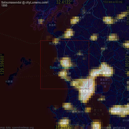
» NASA, Earths city lights 1995
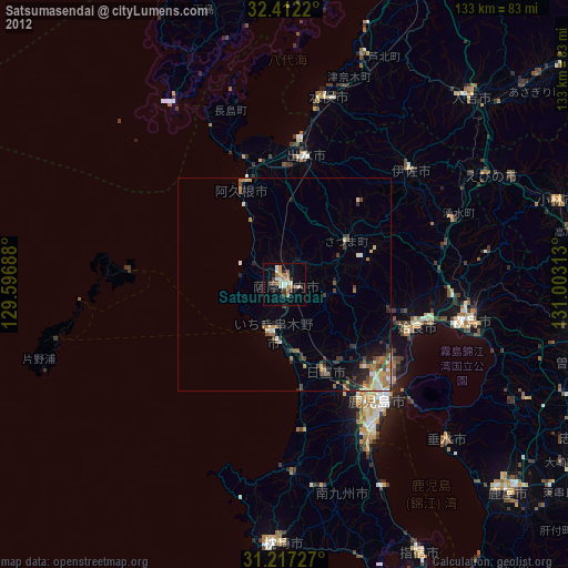
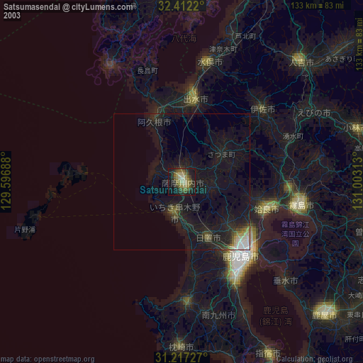
» NASA city lights 2003
» Earth at Night: Flat Maps 2012, 2016