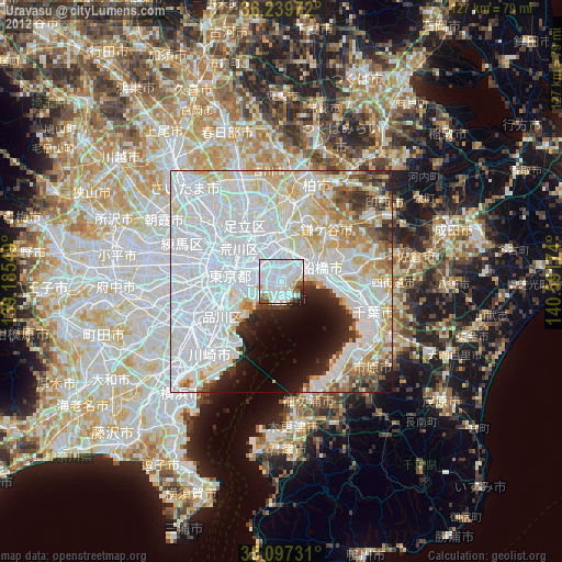
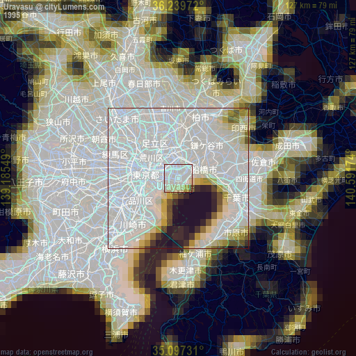
Urayasu night lights from space
Night Light of Urayasu (Tokyo) from space (Japan) Src. Average luminocity for 10x10km area is 93.4825% and for 50x50km: 75.4044%.
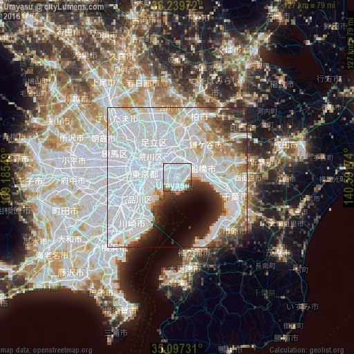

Analysis of Urayasu night lights 2016
Square area 10x10 km:
 64.51%
90-99
21.68%80-89
1.22%70-79
0.87%60-69
3.5%50-59
4.2%40-49
1.92%30-39
1.75%20-29
0.35%10-19
0%0-9
0%Square area 50x50 km:
42.75%90-99
17.27%80-89
5.03%70-79
3.97%60-69
3.68%50-59
2.71%40-49
3.03%30-39
4.36%20-29
4.5%10-19
4.26%0-9
8.44%Clear (daylight) street map image can be seen on geolist.org.
Map coordinates:
36° 14' 23" North, 139° 11' 7.8" East
35° 40' 14" North, 139° 53' 19" East
35° 5' 50.3" North, 140° 35' 30.3" East
Some cities around Urayasu sort by population:
• Tokyo
17.9 km =11.1 mi,  276°
276°
• Honchō
9.5 km =5.9 mi,  68°
68°
• Matsudo
12.2 km =7.6 mi,  5°
5°
• Kawaguchi
22 km =13.7 mi,  313°
313°
• Sōka
20.1 km =12.5 mi,  336°
336°
• Nagareyama
20.7 km =12.9 mi,  3°
3°
• Yashio
17.5 km =10.9 mi,  345°
345°
• Shiroi
21.6 km =13.4 mi,  48°
48°
1849186 (p: 143,758)
Sources (retrieved 2019-11-25):
» NASA, Earths city lights 1995
» NASA city lights 2003
» Earth at Night: Flat Maps 2012, 2016