Honmachi night lights from space
Night Light of Honmachi (Kumamoto) from space (Japan) Src. Average luminocity for 10x10km area is 26.533% and for 50x50km: 3.889%.
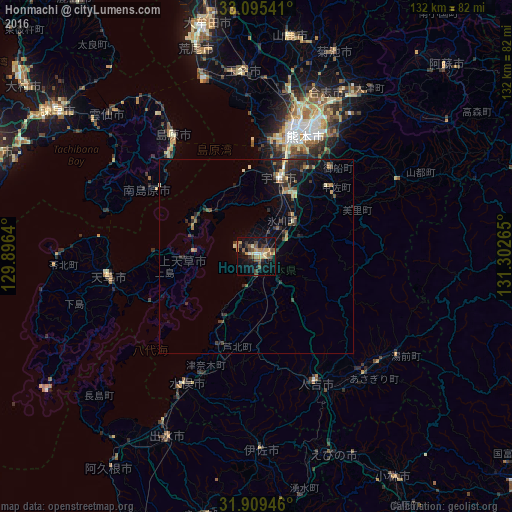
Analysis of Honmachi night lights 2016
Square area 10x10 km:
 0.92%
0.92%90-99
1.83%80-89
4.21%70-79
6.23%60-69
3.11%50-59
7.69%40-49
3.3%30-39
5.49%20-29
2.75%10-19
26.37%0-9
38.1%Square area 50x50 km:
0.07%90-99
0.22%80-89
0.5%70-79
0.54%60-69
0.52%50-59
0.73%40-49
0.58%30-39
0.97%20-29
1.4%10-19
3.16%0-9
91.3%Clear (daylight) street map image can be seen on geolist.org.
Map coordinates:
33° 5' 43.5" North, 129° 53' 47" East
32° 30' 15.8" North, 130° 35' 58.3" East
31° 54' 34.1" North, 131° 18' 9.5" East
Some cities around Honmachi sort by population:
• Kumamoto
34.6 km =21.5 mi,  14°
14°
• Hondomachi-hondo
40.9 km =25.4 mi,  263°
263°
• Uto
20.9 km =13 mi,  17°
17°
• Shimabara
37.9 km =23.5 mi,  324°
324°
• Hitoyoshi
35 km =21.7 mi,  156°
156°
• Uekimachi-mōno
44.7 km =27.8 mi, 10°
• Minamata
37.1 km =23.1 mi,  210°
210°
• Matsubase
17.4 km =10.8 mi, 21°
1848445 (p: 104,341)
Sources (retrieved 2019-11-25):
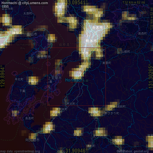
» NASA, Earths city lights 1995
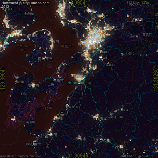
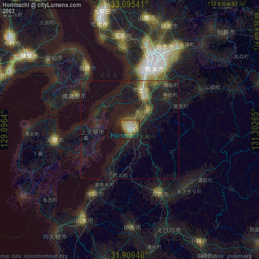
» NASA city lights 2003
» Earth at Night: Flat Maps 2012, 2016