Shimabara night lights from space
Night Light of Shimabara (Nagasaki) from space (Japan) Src. Average luminocity for 10x10km area is 13.8059% and for 50x50km: 3.6696%.
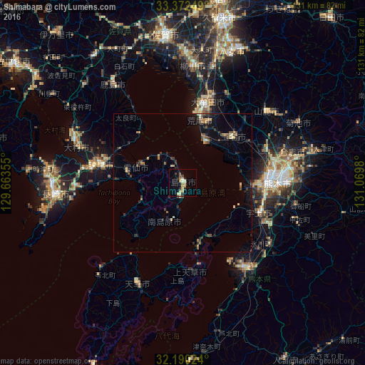
Analysis of Shimabara night lights 2016
Square area 10x10 km:
 0%
0%90-99
0.87%80-89
3.5%70-79
3.67%60-69
1.4%50-59
1.22%40-49
1.22%30-39
2.27%20-29
3.67%10-19
1.22%0-9
80.94%Square area 50x50 km:
0.05%90-99
0.17%80-89
0.5%70-79
0.55%60-69
0.43%50-59
0.69%40-49
0.43%30-39
0.82%20-29
1.38%10-19
2.03%0-9
92.95%Clear (daylight) street map image can be seen on geolist.org.
Map coordinates:
33° 22' 21" North, 129° 39' 48.8" East
32° 46' 60" North, 130° 22' 0" East
32° 11' 24.9" North, 131° 4' 11.3" East
Some cities around Shimabara sort by population:
• Kumamoto
30.5 km =19 mi,  85°
85°
• Ōmuta
28.9 km =18 mi,  15°
15°
• Honmachi
37.9 km =23.5 mi,  144°
144°
• Isahaya
30.9 km =19.2 mi,  281°
281°
• Tamana
26.6 km =16.5 mi,  46°
46°
• Uto
30.2 km =18.8 mi,  111°
111°
• Uekimachi-mōno
32.8 km =20.4 mi,  66°
66°
• Matsubase
31.7 km =19.7 mi,  117°
117°
1852479 (p: 38,113)
Sources (retrieved 2019-11-25):
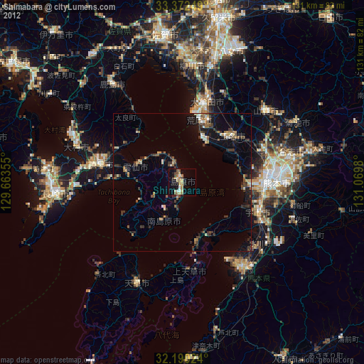
» Earth at Night: Flat Maps 2012, 2016