Minamata night lights from space
Night Light of Minamata (Kumamoto) from space (Japan) Src. Average luminocity for 10x10km area is 5.8444% and for 50x50km: 0.7989%.
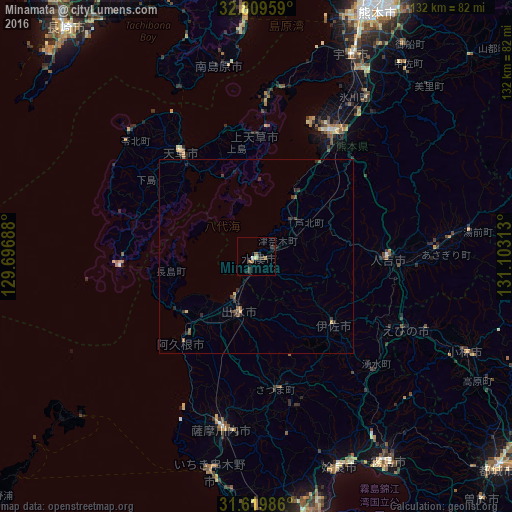
Analysis of Minamata night lights 2016
Square area 10x10 km:
 0.35%
0.35%90-99
0.35%80-89
1.4%70-79
0%60-69
1.4%50-59
0.7%40-49
0.7%30-39
3.5%20-29
0.52%10-19
1.57%0-9
89.51%Square area 50x50 km:
0.01%90-99
0.01%80-89
0.12%70-79
0.04%60-69
0.12%50-59
0.22%40-49
0.15%30-39
0.43%20-29
0.31%10-19
0.18%0-9
98.41%Clear (daylight) street map image can be seen on geolist.org.
Map coordinates:
32° 48' 34.5" North, 129° 41' 48.8" East
32° 13' 0" North, 130° 24' 0" East
31° 37' 11.5" North, 131° 6' 11.3" East
Some cities around Minamata sort by population:
• Honmachi
37.1 km =23.1 mi,  30°
30°
• Satsumasendai
45.5 km =28.3 mi,  191°
191°
• Hondomachi-hondo
34.8 km =21.6 mi,  321°
321°
• Izumi
15.2 km =9.4 mi, 191°
• Hitoyoshi
32.9 km =20.4 mi,  90°
90°
• Akune
29.1 km =18.1 mi,  220°
220°
• Ōkuchi-shinohara
26.8 km =16.7 mi,  128°
128°
• Ushibukamachi
35.6 km =22.1 mi,  267°
267°
1857208 (p: 29,428)
Sources (retrieved 2019-11-25):
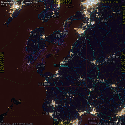
» Earth at Night: Flat Maps 2012, 2016