Hondomachi-hondo night lights from space
Night Light of Hondomachi-hondo (Kumamoto) from space (Japan) Src. Average luminocity for 10x10km area is 5.3956% and for 50x50km: 0.7188%.
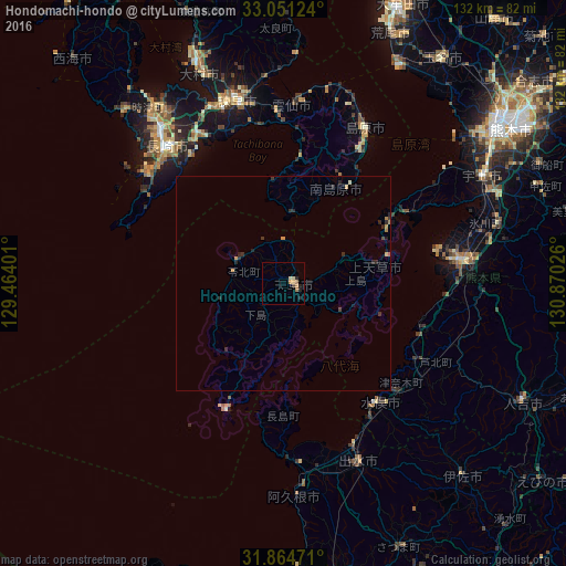
Analysis of Hondomachi-hondo night lights 2016
Square area 10x10 km:
 0%
0%90-99
0%80-89
1.47%70-79
0.92%60-69
2.01%50-59
0.73%40-49
0%30-39
0.73%20-29
2.93%10-19
0%0-9
91.21%Square area 50x50 km:
0%90-99
0.02%80-89
0.09%70-79
0.18%60-69
0.16%50-59
0.04%40-49
0.05%30-39
0.2%20-29
0.53%10-19
0.15%0-9
98.57%Clear (daylight) street map image can be seen on geolist.org.
Map coordinates:
33° 3' 4.5" North, 129° 27' 50.4" East
32° 27' 35.7" North, 130° 10' 1.7" East
31° 51' 53" North, 130° 52' 12.9" East
Some cities around Hondomachi-hondo sort by population:
• Nagasaki
41.8 km =26 mi,  320°
320°
• Honmachi
40.9 km =25.4 mi,  83°
83°
• Isahaya
43.9 km =27.3 mi,  344°
344°
• Obita
47.7 km =29.6 mi,  326°
326°
• Izumi
45.9 km =28.5 mi,  155°
155°
• Shimabara
40.5 km =25.2 mi,  27°
27°
• Minamata
34.8 km =21.6 mi,  141°
141°
• Ushibukamachi
31.8 km =19.8 mi,  205°
205°
1862230 (p: 40,787)
Sources (retrieved 2019-11-25):
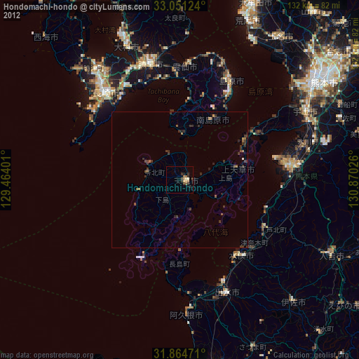
» Earth at Night: Flat Maps 2012, 2016