Kumamoto night lights from space
Night Light of Kumamoto from space (Japan) Src. Average luminocity for 10x10km area is 66.4598% and for 50x50km: 13.3372%.
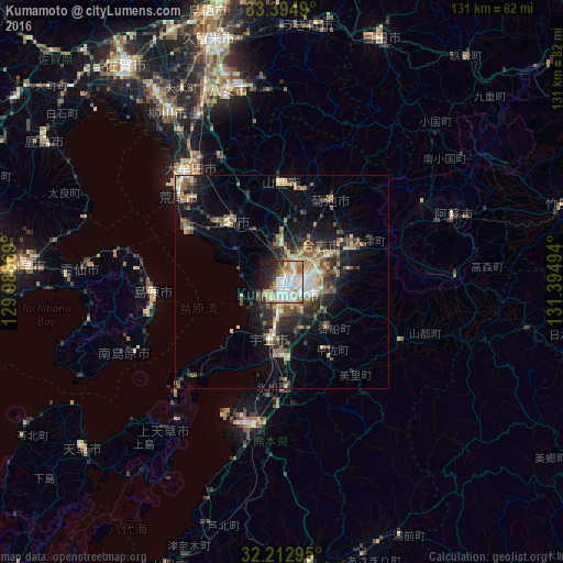
Analysis of Kumamoto night lights 2016
Square area 10x10 km:
 18.18%
90-99
19.58%80-89
6.99%70-79
10.66%60-69
9.27%50-59
4.2%40-49
2.97%30-39
3.67%20-29
11.89%10-19
10.49%0-9
2.1%Square area 50x50 km:
1.36%90-99
1.8%80-89
1.84%70-79
1.71%60-69
2.11%50-59
2.44%40-49
1.71%30-39
2.34%20-29
4.05%10-19
7.49%0-9
73.14%Clear (daylight) street map image can be seen on geolist.org.
Map coordinates:
33° 23' 41.6" North, 129° 59' 19.3" East
32° 48' 21.2" North, 130° 41' 30.5" East
32° 12' 46.6" North, 131° 23' 41.8" East
Some cities around Kumamoto sort by population:
• Tamana
19.2 km =11.9 mi,  325°
325°
• Uto
13.8 km =8.6 mi,  189°
189°
• Shimabara
30.5 km =19 mi,  265°
265°
• Yamaga
23.4 km =14.5 mi,  359°
359°
• Uekimachi-mōno
10.4 km =6.5 mi, 358°
• Ōzu
18.7 km =11.6 mi,  63°
63°
• Kikuchi
22.9 km =14.2 mi,  30°
30°
• Matsubase
17.5 km =10.9 mi, 187°
1858421 (p: 680,423)
Sources (retrieved 2019-11-25):
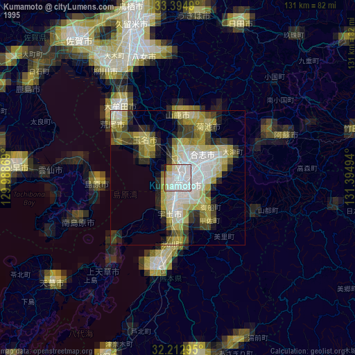
» NASA, Earths city lights 1995
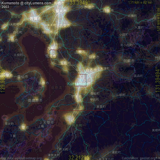
» NASA city lights 2003
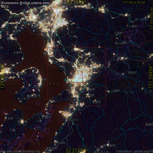
» Earth at Night: Flat Maps 2012, 2016