Uto night lights from space
Night Light of Uto (Kumamoto) from space (Japan) Src. Average luminocity for 10x10km area is 26.7483% and for 50x50km: 12.1781%.
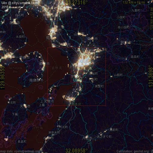
Analysis of Uto night lights 2016
Square area 10x10 km:
 0.87%
0.87%90-99
2.8%80-89
4.55%70-79
2.8%60-69
4.55%50-59
5.24%40-49
1.57%30-39
5.59%20-29
13.64%10-19
29.55%0-9
28.85%Square area 50x50 km:
1.31%90-99
1.73%80-89
1.61%70-79
1.66%60-69
1.9%50-59
2.07%40-49
1.51%30-39
2.29%20-29
3.75%10-19
6.95%0-9
75.22%Clear (daylight) street map image can be seen on geolist.org.
Map coordinates:
33° 16' 23.4" North, 129° 57' 48.8" East
32° 40' 60" North, 130° 40' 0" East
32° 5' 22.5" North, 131° 22' 11.3" East
Some cities around Uto sort by population:
• Kumamoto
13.8 km =8.6 mi,  9°
9°
• Honmachi
20.9 km =13 mi,  197°
197°
• Tamana
30.6 km =19 mi,  343°
343°
• Shimabara
30.2 km =18.8 mi,  291°
291°
• Uekimachi-mōno
24.1 km =15 mi,  4°
4°
• Ōzu
29.1 km =18.1 mi,  41°
41°
• Kikuchi
36.2 km =22.5 mi,  22°
22°
• Matsubase
3.7 km =2.3 mi,  180°
180°
1849069 (p: 39,234)
Sources (retrieved 2019-11-25):
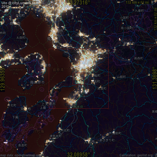
» Earth at Night: Flat Maps 2012, 2016