Hamamatsu night lights from space
Night Light of Hamamatsu (Shizuoka) from space (Japan) Src. Average luminocity for 10x10km area is 80.4982% and for 50x50km: 20.5097%.
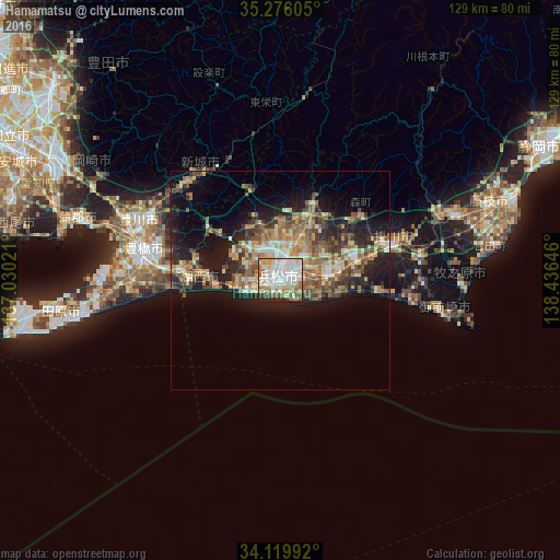
Analysis of Hamamatsu night lights 2016
Square area 10x10 km:
 23.99%
90-99
26.92%80-89
11.72%70-79
9.71%60-69
8.97%50-59
5.68%40-49
5.31%30-39
1.83%20-29
5.86%10-19
0%0-9
0%Square area 50x50 km:
1.71%90-99
3.01%80-89
3.09%70-79
3.26%60-69
3.52%50-59
3.92%40-49
3.77%30-39
2.87%20-29
5.82%10-19
11.39%0-9
57.64%Clear (daylight) street map image can be seen on geolist.org.
Map coordinates:
35° 16' 33.8" North, 137° 1' 48.8" East
34° 42' 0" North, 137° 43' 60" East
34° 7' 11.7" North, 138° 26' 11.3" East
Some cities around Hamamatsu sort by population:
• Toyohashi
32.8 km =20.4 mi,  283°
283°
• Toyokawa
33.1 km =20.6 mi,  293°
293°
• Iwata
10.7 km =6.6 mi,  90°
90°
• Hamakita
12 km =7.5 mi,  22°
22°
• Kakegawa
26.9 km =16.7 mi,  74°
74°
• Fukuroi
17.7 km =11 mi, 71°
• Shinshiro
30.8 km =19.1 mi,  316°
316°
• Mori
23.5 km =14.6 mi,  50°
50°
1863289 (p: 605,098)
Sources (retrieved 2019-11-25):
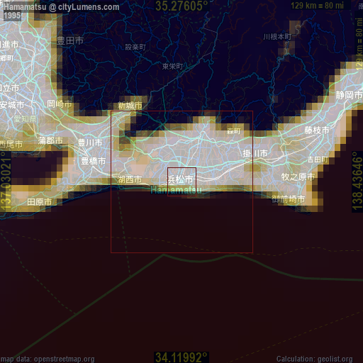
» NASA, Earths city lights 1995
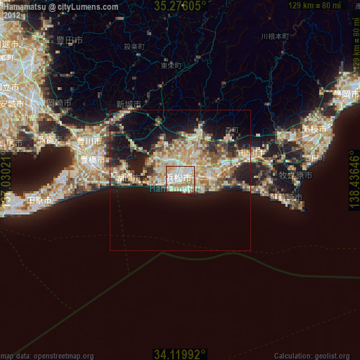
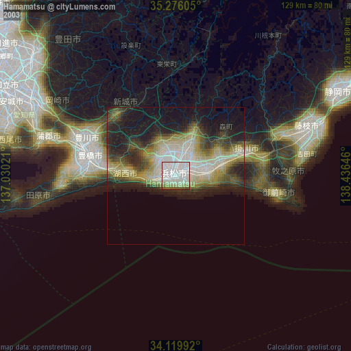
» NASA city lights 2003
» Earth at Night: Flat Maps 2012, 2016