Iwata night lights from space
Night Light of Iwata (Shizuoka) from space (Japan) Src. Average luminocity for 10x10km area is 56.7729% and for 50x50km: 20.4948%.
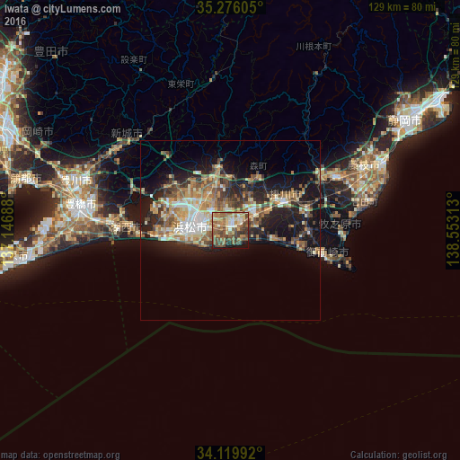
Analysis of Iwata night lights 2016
Square area 10x10 km:
 2.93%
2.93%90-99
7.33%80-89
9.16%70-79
8.79%60-69
12.09%50-59
20.33%40-49
20.51%30-39
8.06%20-29
3.66%10-19
6.96%0-9
0.18%Square area 50x50 km:
1.73%90-99
3.13%80-89
3.04%70-79
3.08%60-69
3.53%50-59
3.91%40-49
3.7%30-39
2.89%20-29
5.66%10-19
12.62%0-9
56.71%Clear (daylight) street map image can be seen on geolist.org.
Map coordinates:
35° 16' 33.8" North, 137° 8' 48.8" East
34° 42' 0" North, 137° 51' 0" East
34° 7' 11.7" North, 138° 33' 11.3" East
Some cities around Iwata sort by population:
• Hamamatsu
10.7 km =6.6 mi,  270°
270°
• Hamakita
12.7 km =7.9 mi,  331°
331°
• Kakegawa
16.9 km =10.5 mi,  64°
64°
• Shimada
33.1 km =20.6 mi,  66°
66°
• Fukuroi
8.2 km =5.1 mi,  47°
47°
• Sagara
32.5 km =20.2 mi,  92°
92°
• Kanaya
28.7 km =17.8 mi, 62°
• Mori
16.7 km =10.4 mi,  27°
27°
1861171 (p: 88,509)
Sources (retrieved 2019-11-25):
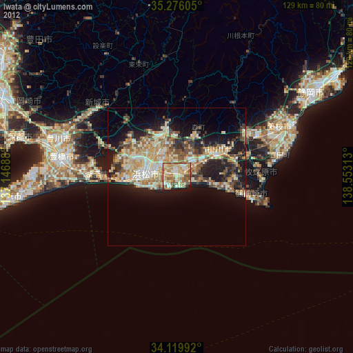
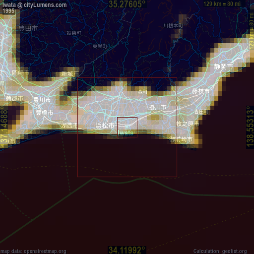
» NASA, Earths city lights 1995
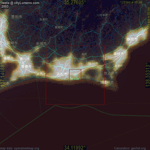
» NASA city lights 2003
» Earth at Night: Flat Maps 2012, 2016