Toyokawa night lights from space
Night Light of Toyokawa (Aichi) from space (Japan) Src. Average luminocity for 10x10km area is 69.7161% and for 50x50km: 27.8864%.
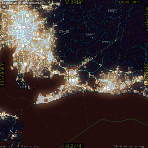
Analysis of Toyokawa night lights 2016
Square area 10x10 km:
 9.16%
9.16%90-99
19.23%80-89
10.62%70-79
10.44%60-69
21.25%50-59
8.97%40-49
7.14%30-39
5.49%20-29
6.41%10-19
1.28%0-9
0%Square area 50x50 km:
3.3%90-99
4.79%80-89
3.73%70-79
3.78%60-69
4.86%50-59
4.46%40-49
4.42%30-39
4.44%20-29
8.52%10-19
14.31%0-9
43.39%Clear (daylight) street map image can be seen on geolist.org.
Map coordinates:
35° 23' 30.8" North, 136° 41' 48.8" East
34° 49' 0" North, 137° 24' 0" East
34° 14' 14.6" North, 138° 6' 11.3" East
Some cities around Toyokawa sort by population:
• Hamamatsu
33.1 km =20.6 mi,  113°
113°
• Toyohashi
5.8 km =3.6 mi,  195°
195°
• Okazaki
25.9 km =16.1 mi,  304°
304°
• Nishio
32.4 km =20.1 mi,  279°
279°
• Gamagōri
15.3 km =9.5 mi, 276°
• Tahara
20.7 km =12.9 mi,  216°
216°
• Shinshiro
13 km =8.1 mi,  44°
44°
• Kozakai-chō
4.2 km =2.6 mi,  243°
243°
1849845 (p: 120,537)
Sources (retrieved 2019-11-25):
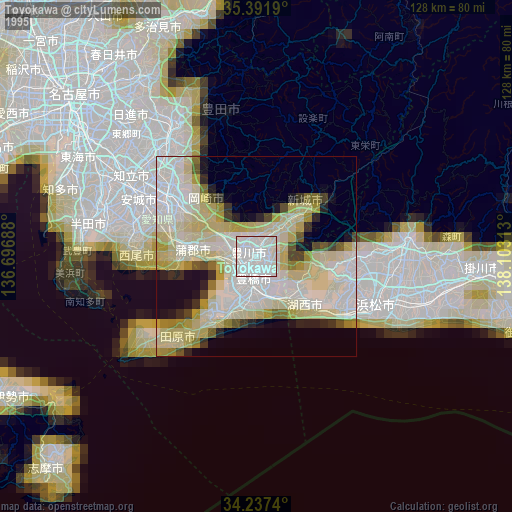
» NASA, Earths city lights 1995
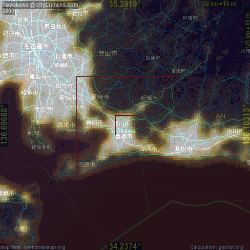
» NASA city lights 2003
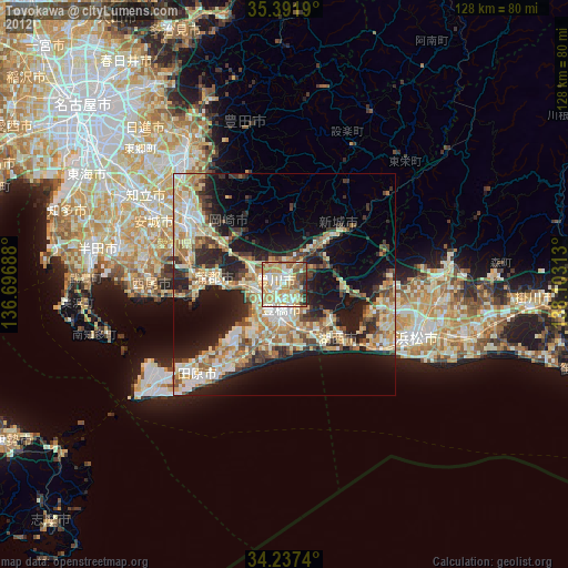
» Earth at Night: Flat Maps 2012, 2016