Hachinohe night lights from space
Night Light of Hachinohe (Aomori) from space (Japan) Src. Average luminocity for 10x10km area is 59.5952% and for 50x50km: 7.3525%.
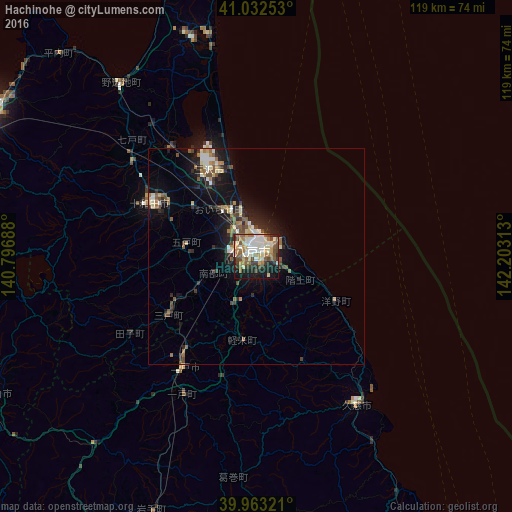
Analysis of Hachinohe night lights 2016
Square area 10x10 km:
 10.37%
90-99
14.63%80-89
9.35%70-79
7.14%60-69
10.03%50-59
9.18%40-49
8.16%30-39
6.12%20-29
9.52%10-19
14.97%0-9
0.51%Square area 50x50 km:
0.8%90-99
1.18%80-89
0.92%70-79
0.54%60-69
1.2%50-59
1.19%40-49
1.21%30-39
1.02%20-29
2.07%10-19
5.81%0-9
84.05%Clear (daylight) street map image can be seen on geolist.org.
Map coordinates:
41° 1' 57.1" North, 140° 47' 48.8" East
40° 30' 0" North, 141° 30' 0" East
39° 57' 47.6" North, 142° 12' 11.3" East
Some cities around Hachinohe sort by population:
• Aomori
73.6 km =45.7 mi,  298°
298°
• Hirosaki
87.4 km =54.3 mi,  276°
276°
• Ōdate
83.8 km =52.1 mi,  252°
252°
• Misawa
22.8 km =14.2 mi,  335°
335°
• Kuroishi
79.1 km =49.2 mi, 281°
• Hanawa
69.9 km =43.4 mi,  239°
239°
• Namioka
80.3 km =49.9 mi,  286°
286°
• Ichinohe
35.9 km =22.3 mi,  209°
209°
2130203 (p: 239,046)
Sources (retrieved 2019-11-25):
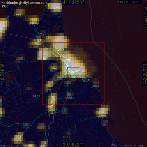
» NASA, Earths city lights 1995
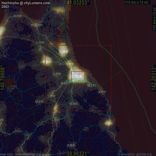
» NASA city lights 2003
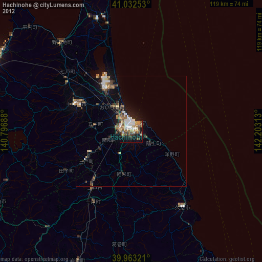
» Earth at Night: Flat Maps 2012, 2016