Kuroishi night lights from space
Night Light of Kuroishi (Aomori) from space (Japan) Src. Average luminocity for 10x10km area is 17.0714% and for 50x50km: 7.9386%.
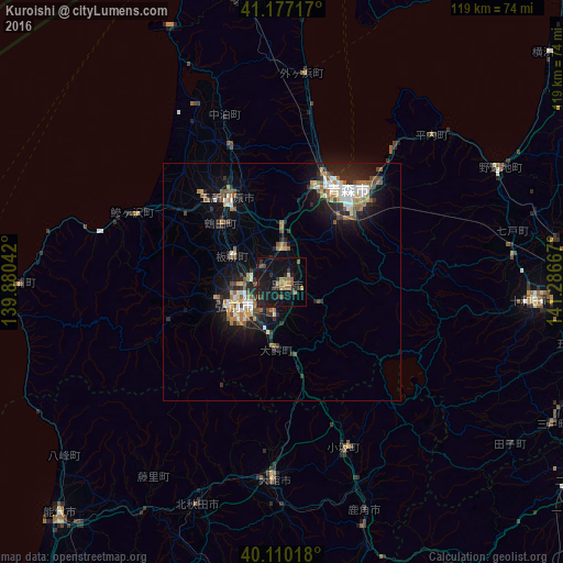
Analysis of Kuroishi night lights 2016
Square area 10x10 km:
 0%
0%90-99
0%80-89
0.65%70-79
2.6%60-69
3.9%50-59
4.22%40-49
1.3%30-39
3.9%20-29
6.98%10-19
25.65%0-9
50.81%Square area 50x50 km:
0.87%90-99
1.23%80-89
0.6%70-79
0.81%60-69
1.41%50-59
1.26%40-49
0.96%30-39
1.11%20-29
2.6%10-19
6.51%0-9
82.64%Clear (daylight) street map image can be seen on geolist.org.
Map coordinates:
41° 10' 37.8" North, 139° 52' 49.5" East
40° 38' 44.9" North, 140° 35' 0.7" East
40° 6' 36.6" North, 141° 17' 12" East
Some cities around Kuroishi sort by population:
• Aomori
22.8 km =14.2 mi,  33°
33°
• Hirosaki
11.1 km =6.9 mi,  237°
237°
• Ōdate
41.6 km =25.8 mi,  183°
183°
• Goshogawara
21.3 km =13.2 mi,  325°
325°
• Hanawa
54.2 km =33.7 mi,  161°
161°
• Namioka
7.2 km =4.5 mi,  4°
4°
• Takanosu
50.5 km =31.4 mi,  201°
201°
• Shimokizukuri
25.8 km =16 mi,  317°
317°
2129395 (p: 38,615)
Sources (retrieved 2019-11-25):
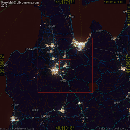
» Earth at Night: Flat Maps 2012, 2016