Hanawa night lights from space
Night Light of Hanawa (Akita) from space (Japan) Src. Average luminocity for 10x10km area is 1.3052% and for 50x50km: 0.5052%.
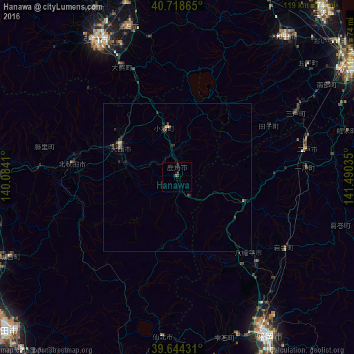
Analysis of Hanawa night lights 2016
Square area 10x10 km:
 0%
0%90-99
0%80-89
0%70-79
0%60-69
0%50-59
0.65%40-49
0%30-39
1.3%20-29
0.65%10-19
1.3%0-9
96.1%Square area 50x50 km:
0%90-99
0%80-89
0.07%70-79
0.01%60-69
0.07%50-59
0.17%40-49
0.07%30-39
0.25%20-29
0.37%10-19
0.16%0-9
98.83%Clear (daylight) street map image can be seen on geolist.org.
Map coordinates:
40° 43' 7.1" North, 140° 5' 2.8" East
40° 11' 1" North, 140° 47' 14" East
39° 38' 39.5" North, 141° 29' 25.3" East
Some cities around Hanawa sort by population:
• Morioka
62 km =38.5 mi,  150°
150°
• Hirosaki
52.8 km =32.8 mi,  329°
329°
• Ōdate
21.8 km =13.5 mi,  296°
296°
• Kuroishi
54.2 km =33.7 mi,  341°
341°
• Namioka
60.9 km =37.8 mi, 344°
• Takanosu
36 km =22.4 mi,  276°
276°
• Shizukuishi
57 km =35.4 mi,  162°
162°
• Ichinohe
42.9 km =26.7 mi,  84°
84°
2130146 (p: 36,925)
Sources (retrieved 2019-11-25):
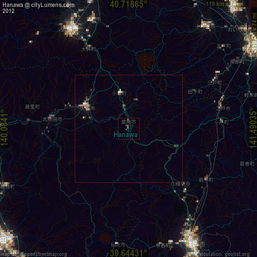
» Earth at Night: Flat Maps 2012, 2016