Aqaba night lights from space
Night Light of Aqaba from space (Jordan) Src. Average luminocity for 10x10km area is 64.0833% and for 50x50km: 11.7307%.
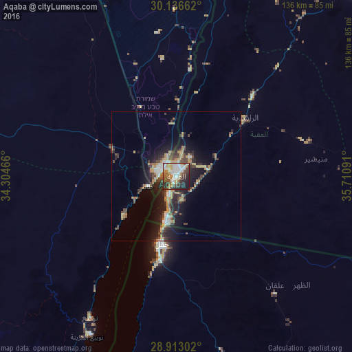
Analysis of Aqaba night lights 2016
Square area 10x10 km:
 18.56%
90-99
12.5%80-89
6.63%70-79
10.04%60-69
5.11%50-59
7.39%40-49
11.93%30-39
10.42%20-29
13.26%10-19
4.17%0-9
0%Square area 50x50 km:
1.44%90-99
1.34%80-89
1.08%70-79
2.85%60-69
0.81%50-59
0.89%40-49
2.73%30-39
2.47%20-29
4.01%10-19
7.95%0-9
74.43%Clear (daylight) street map image can be seen on geolist.org.
Map coordinates:
30° 8' 11.8" North, 34° 18' 16.8" East
29° 31' 36" North, 35° 0' 28" East
28° 54' 46.9" North, 35° 42' 39.3" East
Some cities around Aqaba sort by population:
• Ma'an
102.2 km =63.5 mi,  43°
43°
• Eilat, IL
6.7 km =4.2 mi,  301°
301°
• Aţ Ţafīlah
156.6 km =97.3 mi,  21°
21°
• Petra
99.3 km =61.7 mi,  27°
27°
• Yeroẖam, IL
162.7 km =101.1 mi,  357°
357°
• Dahab, EG
126.4 km =78.5 mi,  203°
203°
• Al Quwayrah
42.3 km =26.3 mi, 43°
• Buşayrā
146 km =90.7 mi, 23°
250774 (p: 95,048)
Sources (retrieved 2019-11-25):
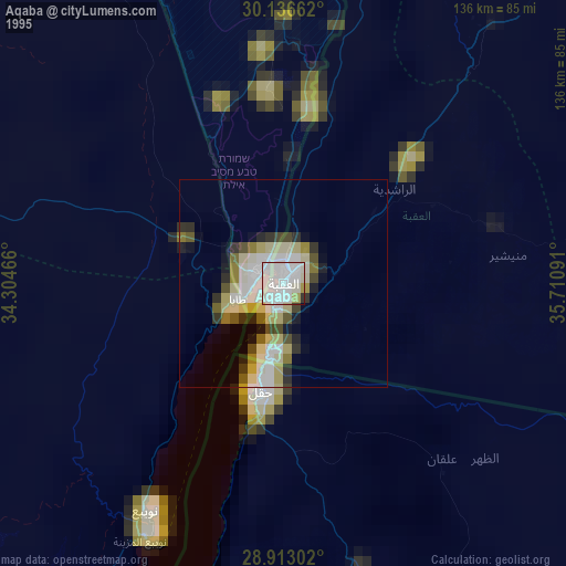
» NASA, Earths city lights 1995
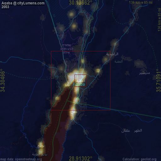
» NASA city lights 2003
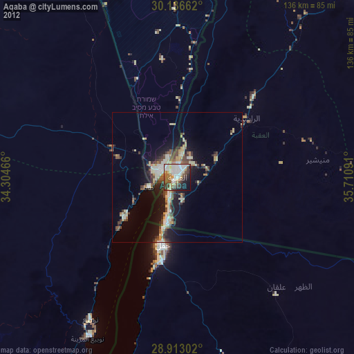
» Earth at Night: Flat Maps 2012, 2016