Aţ Ţafīlah night lights from space
Night Light of Aţ Ţafīlah (Tafielah) from space (Jordan) Src. Average luminocity for 10x10km area is 35.4038% and for 50x50km: 5.2423%.
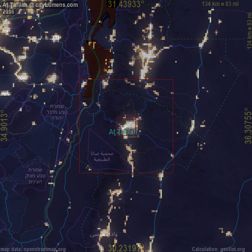
Analysis of Aţ Ţafīlah night lights 2016
Square area 10x10 km:
 4.55%
4.55%90-99
6.29%80-89
2.97%70-79
8.57%60-69
1.75%50-59
1.92%40-49
7.17%30-39
6.99%20-29
9.09%10-19
33.92%0-9
16.78%Square area 50x50 km:
0.3%90-99
0.43%80-89
0.44%70-79
1.43%60-69
0.45%50-59
0.54%40-49
1.23%30-39
0.79%20-29
1.09%10-19
4.14%0-9
89.15%Clear (daylight) street map image can be seen on geolist.org.
Map coordinates:
31° 26' 21.6" North, 34° 54' 4.7" East
30° 50' 15.1" North, 35° 36' 15.9" East
30° 13' 54.9" North, 36° 18' 27.2" East
Some cities around Aţ Ţafīlah sort by population:
• ‘Izrā
36.7 km =22.8 mi,  13°
13°
• Qīr Moāv
39.4 km =24.5 mi, 13°
• Karak City
39.3 km =24.4 mi,  22°
22°
• Safi
25.8 km =16 mi,  329°
329°
• Al Mazār al Janūbī
27 km =16.8 mi, 18°
• ‘Ayy
33.1 km =20.6 mi, 6°
• Buşayrā
11.7 km =7.3 mi,  177°
177°
• Al Khinzīrah
23.7 km =14.7 mi,  0°
0°
250198 (p: 25,429)
Sources (retrieved 2019-11-25):
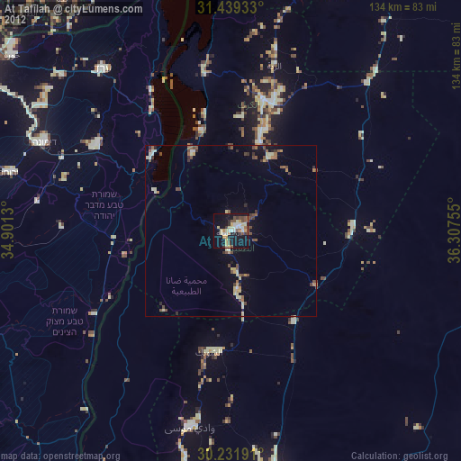
» Earth at Night: Flat Maps 2012, 2016