Eilat night lights from space
Night Light of Eilat (Southern District) from space (Israel) Src. Average luminocity for 10x10km area is 64.8693% and for 50x50km: 11.3866%.
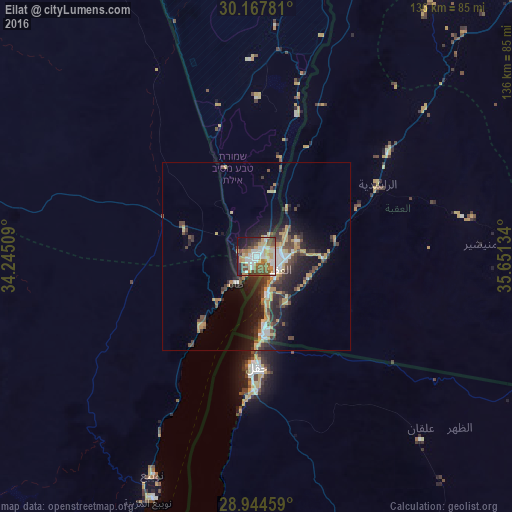
Analysis of Eilat night lights 2016
Square area 10x10 km:
 15.34%
90-99
12.88%80-89
7.39%70-79
14.77%60-69
7.2%50-59
8.33%40-49
11.74%30-39
6.06%20-29
9.28%10-19
6.82%0-9
0.19%Square area 50x50 km:
1.43%90-99
1.31%80-89
1.08%70-79
2.81%60-69
0.78%50-59
0.93%40-49
2.68%30-39
2.31%20-29
3.73%10-19
7.32%0-9
75.64%Clear (daylight) street map image can be seen on geolist.org.
Map coordinates:
30° 10' 4.1" North, 34° 14' 42.3" East
29° 33' 29" North, 34° 56' 53.6" East
28° 56' 40.5" North, 35° 39' 4.8" East
Some cities around Eilat sort by population:
• Aqaba, JO
6.7 km =4.2 mi,  121°
121°
• Ma'an, JO
103.8 km =64.5 mi,  46°
46°
• Aţ Ţafīlah, JO
155.6 km =96.7 mi,  23°
23°
• Petra, JO
99 km =61.5 mi,  31°
31°
• Yeroẖam
159 km =98.8 mi,  359°
359°
• Dahab, EG
127.5 km =79.2 mi,  200°
200°
• Al Quwayrah, JO
44.3 km =27.5 mi, 52°
• Buşayrā, JO
145.2 km =90.2 mi, 25°
295277 (p: 45,588)
Sources (retrieved 2019-11-25):
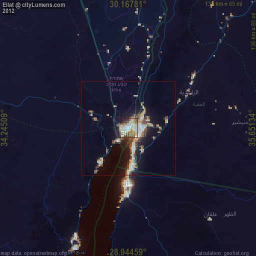
» Earth at Night: Flat Maps 2012, 2016