Ocho Rios night lights from space
Night Light of Ocho Rios (St Ann) from space (Jamaica) Src. Average luminocity for 10x10km area is 21.7893% and for 50x50km: 4.0141%.
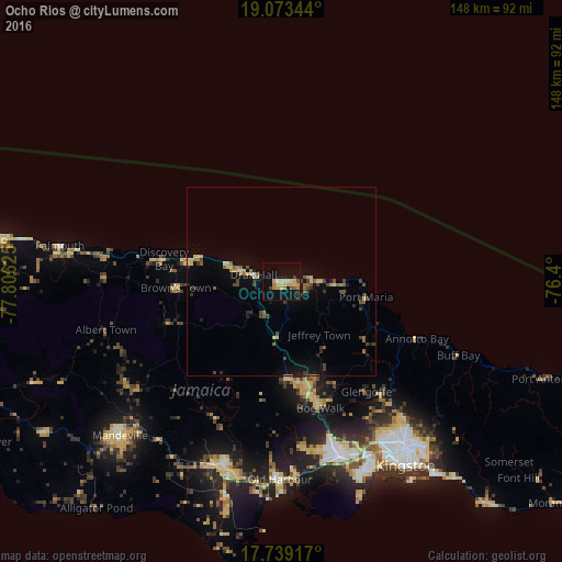
Analysis of Ocho Rios night lights 2016
Square area 10x10 km:
 0.41%
0.41%90-99
1.24%80-89
8.68%70-79
4.13%60-69
1.86%50-59
1.45%40-49
2.48%30-39
0.83%20-29
0.41%10-19
23.76%0-9
54.75%Square area 50x50 km:
0.02%90-99
0.12%80-89
0.96%70-79
0.5%60-69
0.45%50-59
0.64%40-49
0.97%30-39
0.65%20-29
0.55%10-19
2.41%0-9
92.72%Clear (daylight) street map image can be seen on geolist.org.
Map coordinates:
19° 4' 24.4" North, 77° 48' 22.5" West
18° 24' 27.4" North, 77° 6' 11.2" West
17° 44' 21" North, 76° 24' 0" West
Some cities around Ocho Rios sort by population:
• Linstead
31 km =19.3 mi,  165°
165°
• Saint Ann’s Bay
10.8 km =6.7 mi,  286°
286°
• Bog Walk
35.5 km =22.1 mi,  163°
163°
• Ewarton
25 km =15.5 mi,  175°
175°
• Port Maria
23 km =14.3 mi,  100°
100°
• Runaway Bay
25.2 km =15.7 mi,  283°
283°
• Annotto Bay
38.7 km =24 mi,  112°
112°
• Point Hill
35.3 km =21.9 mi, 180°
3489239 (p: 9,450)
Sources (retrieved 2019-11-25):
» Earth at Night: Flat Maps 2012, 2016