Viterbo night lights from space
Night Light of Viterbo (Latium) from space (Italy) Src. Average luminocity for 10x10km area is 36.1016% and for 50x50km: 7.9704%.
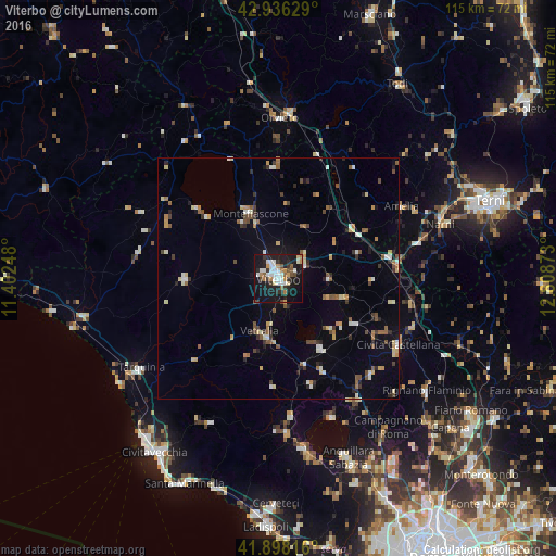
Analysis of Viterbo night lights 2016
Square area 10x10 km:
 4.44%
4.44%90-99
10.79%80-89
1.9%70-79
3.97%60-69
4.29%50-59
3.81%40-49
2.86%30-39
5.08%20-29
9.84%10-19
41.43%0-9
11.59%Square area 50x50 km:
0.5%90-99
1.45%80-89
0.96%70-79
0.78%60-69
0.8%50-59
1.16%40-49
1.12%30-39
1.02%20-29
1.33%10-19
3.63%0-9
87.26%Clear (daylight) street map image can be seen on geolist.org.
Map coordinates:
42° 56' 10.6" North, 11° 24' 8.9" East
42° 25' 9.7" North, 12° 6' 20.2" East
41° 53' 53.4" North, 12° 48' 31.4" East
Some cities around Viterbo sort by population:
• Vetralla
11.6 km =7.2 mi,  193°
193°
• Montefiascone
15 km =9.3 mi,  336°
336°
• Tuscania
19.5 km =12.1 mi,  269°
269°
• Ronciglione
17 km =10.6 mi,  148°
148°
• Nepi
27.8 km =17.3 mi,  135°
135°
• Soriano nel Cimino
10.6 km =6.6 mi,  90°
90°
• Capranica
18.7 km =11.6 mi,  162°
162°
• Fabrica di Roma
18.5 km =11.5 mi,  120°
120°
3164039 (p: 47,134)
Sources (retrieved 2019-11-25):
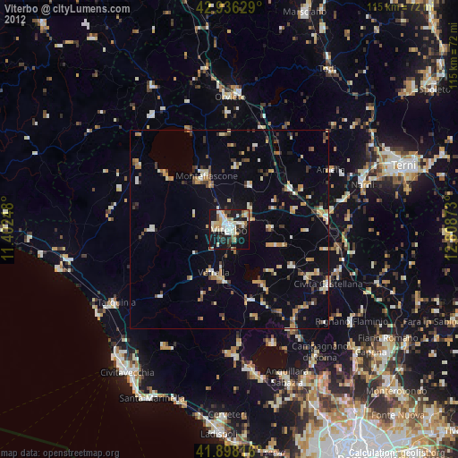
» Earth at Night: Flat Maps 2012, 2016