Capranica night lights from space
Night Light of Capranica (Latium) from space (Italy) Src. Average luminocity for 10x10km area is 12.7045% and for 50x50km: 11.7626%.
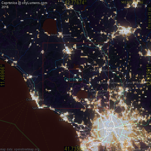
Analysis of Capranica night lights 2016
Square area 10x10 km:
 1.52%
1.52%90-99
4.55%80-89
0.61%70-79
0.3%60-69
0.91%50-59
0.61%40-49
0.91%30-39
1.67%20-29
1.97%10-19
3.79%0-9
83.18%Square area 50x50 km:
0.71%90-99
1.83%80-89
1.38%70-79
1.29%60-69
1.19%50-59
1.72%40-49
1.77%30-39
1.65%20-29
3.11%10-19
7.46%0-9
77.88%Clear (daylight) street map image can be seen on geolist.org.
Map coordinates:
42° 46' 36.3" North, 11° 28' 10.8" East
42° 15' 30.6" North, 12° 10' 22" East
41° 44' 9.4" North, 12° 52' 33.3" East
Some cities around Capranica sort by population:
• Viterbo
18.7 km =11.6 mi,  342°
342°
• Bracciano
17.3 km =10.7 mi,  181°
181°
• Vetralla
10.5 km =6.5 mi,  308°
308°
• Ronciglione
4.8 km =3 mi,  45°
45°
• Nepi
14.2 km =8.8 mi,  97°
97°
• Manziana
14.8 km =9.2 mi,  195°
195°
• Soriano nel Cimino
18.5 km =11.5 mi,  15°
15°
• Fabrica di Roma
13.4 km =8.3 mi, 50°
3180644 (p: 5,271)
Sources (retrieved 2019-11-25):
» Earth at Night: Flat Maps 2012, 2016