Vigonza night lights from space
Night Light of Vigonza (Veneto) from space (Italy) Src. Average luminocity for 10x10km area is 80.1111% and for 50x50km: 51.1746%.
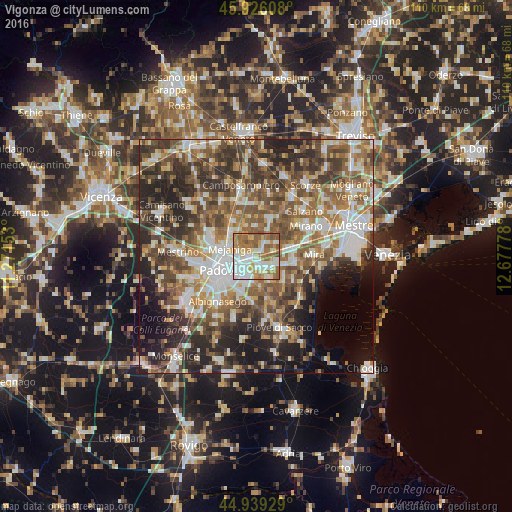
Analysis of Vigonza night lights 2016
Square area 10x10 km:
 20.16%
90-99
23.17%80-89
9.05%70-79
12.38%60-69
16.03%50-59
17.3%40-49
1.9%30-39
0%20-29
0%10-19
0%0-9
0%Square area 50x50 km:
8.63%90-99
10.4%80-89
4.86%70-79
6.05%60-69
8.52%50-59
11.01%40-49
10.66%30-39
9.1%20-29
12.33%10-19
8.56%0-9
9.9%Clear (daylight) street map image can be seen on geolist.org.
Map coordinates:
45° 55' 33.9" North, 11° 16' 17.5" East
45° 26' 5.4" North, 11° 58' 28.7" East
44° 56' 21.4" North, 12° 40' 40" East
Some cities around Vigonza sort by population:
• Mejaniga
5.9 km =3.7 mi,  295°
295°
• Noventa
2.9 km =1.8 mi,  218°
218°
• Fiesso
4.9 km =3 mi,  110°
110°
• Vigodarzere
7.4 km =4.6 mi,  289°
289°
• Stra
4.1 km =2.5 mi,  130°
130°
• Pianiga
3.6 km =2.2 mi,  46°
46°
• Villatora
5.3 km =3.3 mi,  186°
186°
• Fiesso d'Artico
4.5 km =2.8 mi, 109°
3164318 (p: 13,798)
Sources (retrieved 2019-11-25):
» Earth at Night: Flat Maps 2012, 2016