Vigevano night lights from space
Night Light of Vigevano (Lombardy) from space (Italy) Src. Average luminocity for 10x10km area is 38.8111% and for 50x50km: 34.091%.
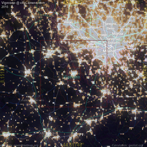
Analysis of Vigevano night lights 2016
Square area 10x10 km:
 8.41%
8.41%90-99
7.62%80-89
1.59%70-79
2.38%60-69
5.71%50-59
4.29%40-49
3.33%30-39
3.65%20-29
18.25%10-19
43.65%0-9
1.11%Square area 50x50 km:
8.42%90-99
7.26%80-89
2.96%70-79
3.23%60-69
3.75%50-59
3.18%40-49
3.64%30-39
4.69%20-29
10.7%10-19
17.77%0-9
34.4%Clear (daylight) street map image can be seen on geolist.org.
Map coordinates:
45° 48' 22.9" North, 8° 9' 4.5" East
45° 18' 50.7" North, 8° 51' 15.7" East
44° 49' 2.9" North, 9° 33' 27" East
Some cities around Vigevano sort by population:
• Abbiategrasso
10.6 km =6.6 mi,  27°
27°
• Mortara
11.9 km =7.4 mi,  232°
232°
• Casorate Primo
12.7 km =7.9 mi,  91°
91°
• Gambolò
5.8 km =3.6 mi,  177°
177°
• Motta Visconti
11.2 km =7 mi,  105°
105°
• Cassolnovo
6.2 km =3.9 mi,  327°
327°
• Cerano
11.9 km =7.4 mi, 332°
• Cilavegna
8.6 km =5.3 mi,  267°
267°
3164376 (p: 57,970)
Sources (retrieved 2019-11-25):
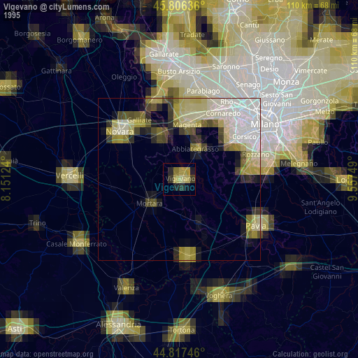
» NASA, Earths city lights 1995
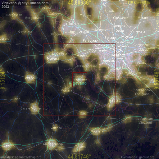
» NASA city lights 2003
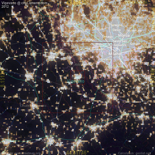
» Earth at Night: Flat Maps 2012, 2016