Treviglio night lights from space
Night Light of Treviglio (Lombardy) from space (Italy) Src. Average luminocity for 10x10km area is 65.7318% and for 50x50km: 59.3273%.
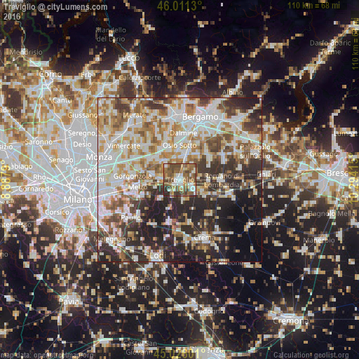
Analysis of Treviglio night lights 2016
Square area 10x10 km:
 11.06%
90-99
13.33%80-89
5.15%70-79
8.94%60-69
13.64%50-59
21.82%40-49
16.06%30-39
7.12%20-29
2.88%10-19
0%0-9
0%Square area 50x50 km:
14.21%90-99
14.94%80-89
6.05%70-79
7.26%60-69
8.43%50-59
7.68%40-49
6.59%30-39
7.5%20-29
13.85%10-19
9.07%0-9
4.43%Clear (daylight) street map image can be seen on geolist.org.
Map coordinates:
46° 0' 40.7" North, 8° 53' 16.4" East
45° 31' 14.9" North, 9° 35' 27.7" East
45° 1' 33.6" North, 10° 17' 38.9" East
Some cities around Treviglio sort by population:
• Cassano d'Adda
5.9 km =3.7 mi,  275°
275°
• Caravaggio
4.8 km =3 mi,  124°
124°
• Inzago
8.6 km =5.3 mi, 284°
• Vaprio d'Adda
8.1 km =5 mi,  319°
319°
• Rivolta d'Adda
8.4 km =5.2 mi,  227°
227°
• Fara Gera d'Adda
5.8 km =3.6 mi,  313°
313°
• Brignano Gera d'Adda
4.8 km =3 mi,  58°
58°
• Ciserano
7.5 km =4.7 mi,  6°
6°
3165207 (p: 24,937)
Sources (retrieved 2019-11-25):
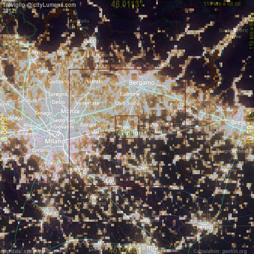
» Earth at Night: Flat Maps 2012, 2016