Racale night lights from space
Night Light of Racale (Apulia) from space (Italy) Src. Average luminocity for 10x10km area is 49.318% and for 50x50km: 20.4549%.
Analysis of Racale night lights 2016
Square area 10x10 km:
100  5.44%
5.44%
90-99 7.99%
80-89 8.33%
70-79 6.97%
60-69 9.52%
50-59 5.1%
40-49 5.78%
30-39 13.78%
20-29 29.08%
10-19 7.99%
0-9 0%
5.44%90-99
7.99%80-89
8.33%70-79
6.97%60-69
9.52%50-59
5.1%40-49
5.78%30-39
13.78%20-29
29.08%10-19
7.99%0-9
0%Square area 50x50 km:
100 1.96%
90-99 4.07%
80-89 2.71%
70-79 2.33%
60-69 2.75%
50-59 1.63%
40-49 2.05%
30-39 4.51%
20-29 13.2%
10-19 12.58%
0-9 52.22%
1.96%90-99
4.07%80-89
2.71%70-79
2.33%60-69
2.75%50-59
1.63%40-49
2.05%30-39
4.51%20-29
13.2%10-19
12.58%0-9
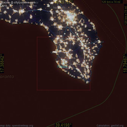
52.22%Clear (daylight) street map image can be seen on geolist.org.
Map coordinates:
40° 29' 51.6" North, 17° 23' 18.3" East
39° 57' 39.1" North, 18° 5' 29.5" East
39° 25' 11.3" North, 18° 47' 40.8" East
Some cities around Racale sort by population:
• Casarano
8.2 km =5.1 mi,  47°
47°
• Taviano
2.5 km =1.6 mi,  340°
340°
• Matino
8.7 km =5.4 mi,  26°
26°
• Taurisano
10.5 km =6.5 mi,  92°
92°
• Ugento
6.8 km =4.2 mi,  123°
123°
• Parabita
10.5 km =6.5 mi,  16°
16°
• Melissano
2.9 km =1.8 mi,  61°
61°
• Alezio
11.6 km =7.2 mi,  345°
345°
2523660 (p: 9,542)
Sources (retrieved 2019-11-25):
» Earth at Night: Flat Maps 2012, 2016