Sora night lights from space
Night Light of Sora (Latium) from space (Italy) Src. Average luminocity for 10x10km area is 48.1315% and for 50x50km: 14.8466%.
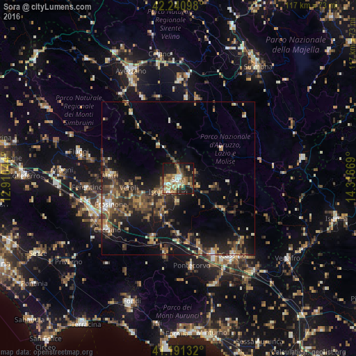
Analysis of Sora night lights 2016
Square area 10x10 km:
 4.38%
4.38%90-99
9.42%80-89
6.98%70-79
6.49%60-69
11.04%50-59
11.2%40-49
4.22%30-39
5.36%20-29
16.4%10-19
22.24%0-9
2.27%Square area 50x50 km:
0.53%90-99
1.71%80-89
1.4%70-79
1.8%60-69
2.21%50-59
3.76%40-49
3.03%30-39
3.13%20-29
5.95%10-19
11.51%0-9
64.98%Clear (daylight) street map image can be seen on geolist.org.
Map coordinates:
42° 14' 27.5" North, 12° 54' 37.6" East
41° 43' 5.8" North, 13° 36' 48.8" East
41° 11' 28.8" North, 14° 19' 0.1" East
Some cities around Sora sort by population:
• Frosinone
24.3 km =15.1 mi,  248°
248°
• Ceccano
28.7 km =17.8 mi,  235°
235°
• Isola del Liri
3.8 km =2.4 mi,  201°
201°
• Alatri
22.7 km =14.1 mi,  273°
273°
• Pontecorvo
29.2 km =18.1 mi,  171°
171°
• Trasacco
27.4 km =17 mi,  345°
345°
• Ceprano
20.9 km =13 mi, 203°
• Tecchiena
22.5 km =14 mi,  261°
261°
3166387 (p: 23,758)
Sources (retrieved 2019-11-25):
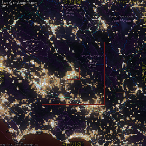
» Earth at Night: Flat Maps 2012, 2016