Frosinone night lights from space
Night Light of Frosinone (Latium) from space (Italy) Src. Average luminocity for 10x10km area is 57.3636% and for 50x50km: 18.9574%.
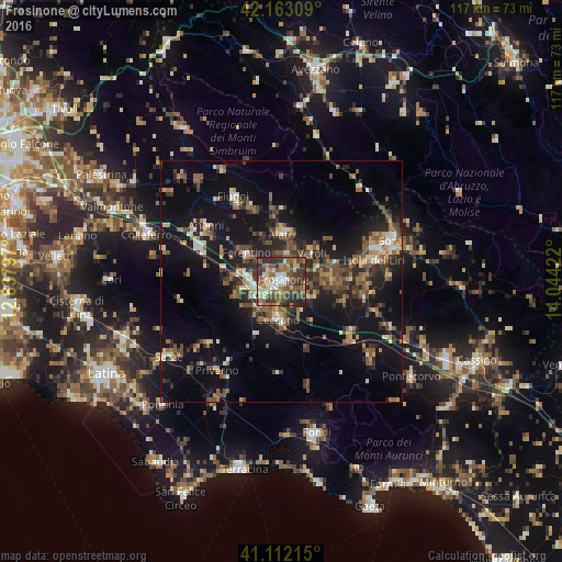
Analysis of Frosinone night lights 2016
Square area 10x10 km:
 6.49%
6.49%90-99
9.09%80-89
8.12%70-79
6.17%60-69
8.12%50-59
18.51%40-49
15.26%30-39
15.91%20-29
12.18%10-19
0.16%0-9
0%Square area 50x50 km:
0.87%90-99
2.31%80-89
1.87%70-79
2%60-69
2.66%50-59
4.69%40-49
3.85%30-39
3.71%20-29
6.57%10-19
16.77%0-9
54.7%Clear (daylight) street map image can be seen on geolist.org.
Map coordinates:
42° 9' 47.1" North, 12° 38' 16.7" East
41° 38' 23.1" North, 13° 20' 27.9" East
41° 6' 43.7" North, 14° 2' 39.2" East
Some cities around Frosinone sort by population:
• Ceccano
7.6 km =4.7 mi,  187°
187°
• Ferentino
9.1 km =5.7 mi,  309°
309°
• Isola del Liri
21.9 km =13.6 mi,  76°
76°
• Alatri
10.2 km =6.3 mi,  0°
0°
• Fiuggi
20.1 km =12.5 mi,  331°
331°
• Anagni
19.3 km =12 mi, 306°
• Ceprano
17.8 km =11.1 mi,  125°
125°
• Tecchiena
5.4 km =3.4 mi, 3°
3176515 (p: 44,505)
Sources (retrieved 2019-11-25):
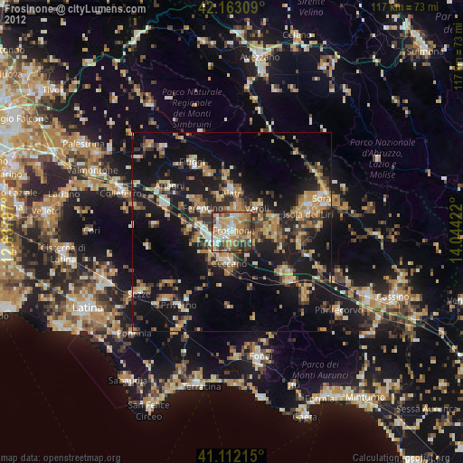
» Earth at Night: Flat Maps 2012, 2016