Sant'Anastasia night lights from space
Night Light of Sant'Anastasia (Campania) from space (Italy) Src. Average luminocity for 10x10km area is 77.0017% and for 50x50km: 54.1508%.
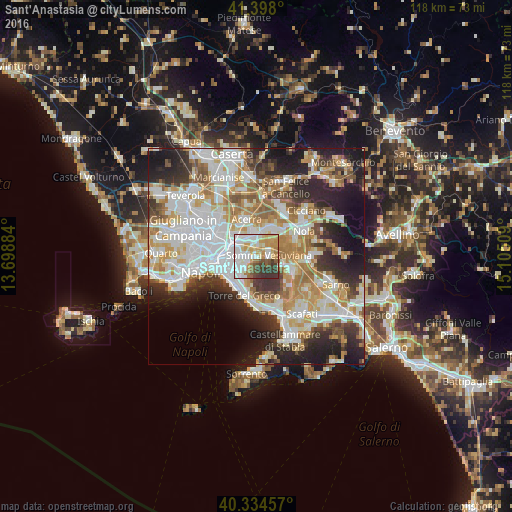
Analysis of Sant'Anastasia night lights 2016
Square area 10x10 km:
 22.62%
90-99
20.07%80-89
12.41%70-79
13.95%60-69
6.63%50-59
4.76%40-49
5.61%30-39
13.78%20-29
0.17%10-19
0%0-9
0%Square area 50x50 km:
14.43%90-99
13.66%80-89
5.55%70-79
7.3%60-69
7.93%50-59
5.07%40-49
4.11%30-39
6.56%20-29
10.6%10-19
10.97%0-9
13.83%Clear (daylight) street map image can be seen on geolist.org.
Map coordinates:
41° 23' 52.8" North, 13° 41' 55.8" East
40° 52' 6.3" North, 14° 24' 7.1" East
40° 20' 4.5" North, 15° 6' 18.3" East
Some cities around Sant'Anastasia sort by population:
• Pomigliano d'Arco
4.9 km =3 mi,  341°
341°
• Somma Vesuviana
3.1 km =1.9 mi,  80°
80°
• Volla
5.2 km =3.2 mi,  276°
276°
• Cercola
3.9 km =2.4 mi,  256°
256°
• Pollena Trocchia
2.7 km =1.7 mi,  225°
225°
• San Sebastiano al Vesuvio
4.2 km =2.6 mi, 228°
• Castello di Cisterna
5.3 km =3.3 mi,  8°
8°
• Massa di Somma
3.4 km =2.1 mi,  221°
221°
3167509 (p: 20,733)
Sources (retrieved 2019-11-25):
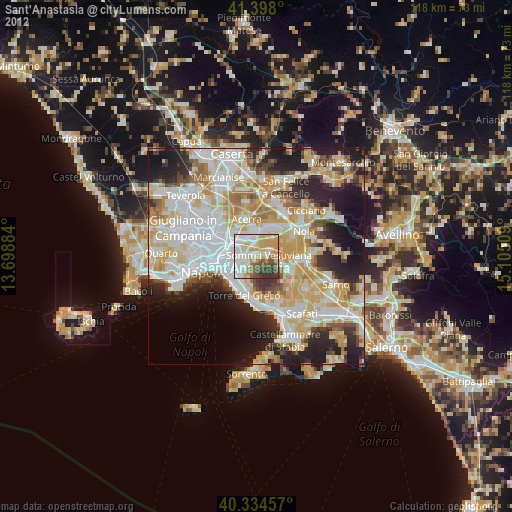
» Earth at Night: Flat Maps 2012, 2016