Volla night lights from space
Night Light of Volla (Campania) from space (Italy) Src. Average luminocity for 10x10km area is 95.7211% and for 50x50km: 54.3074%.
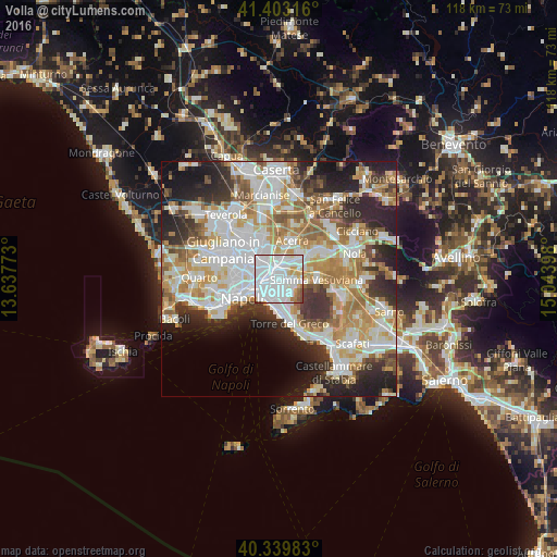
Analysis of Volla night lights 2016
Square area 10x10 km:
 59.35%
90-99
26.7%80-89
5.44%70-79
3.57%60-69
2.89%50-59
1.36%40-49
0.68%30-39
0%20-29
0%10-19
0%0-9
0%Square area 50x50 km:
14.37%90-99
13.89%80-89
5.73%70-79
7.42%60-69
8.13%50-59
5.31%40-49
4.03%30-39
6.29%20-29
10.22%10-19
9.21%0-9
15.39%Clear (daylight) street map image can be seen on geolist.org.
Map coordinates:
41° 24' 11.4" North, 13° 38' 15.8" East
40° 52' 25.1" North, 14° 20' 27.1" East
40° 20' 23.4" North, 15° 2' 38.3" East
Some cities around Volla sort by population:
• Ponticelli
2.3 km =1.4 mi,  202°
202°
• Casalnuovo di Napoli
4 km =2.5 mi,  1°
1°
• Barra
3.9 km =2.4 mi,  208°
208°
• Arpino
2.4 km =1.5 mi,  314°
314°
• Cercola
2 km =1.2 mi,  136°
136°
• Pollena Trocchia
4.1 km =2.5 mi,  127°
127°
• San Sebastiano al Vesuvio
3.9 km =2.4 mi,  149°
149°
• Massa di Somma
4.3 km =2.7 mi, 137°
6534268 (p: 22,911)
Sources (retrieved 2019-11-25):
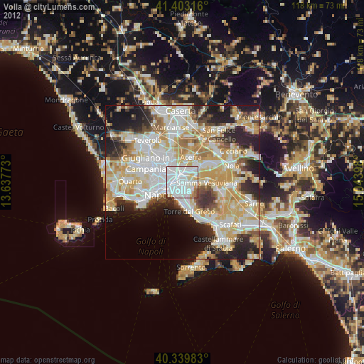
» Earth at Night: Flat Maps 2012, 2016