Somma Vesuviana night lights from space
Night Light of Somma Vesuviana (Campania) from space (Italy) Src. Average luminocity for 10x10km area is 71.5442% and for 50x50km: 54.4994%.
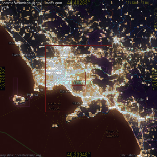
Analysis of Somma Vesuviana night lights 2016
Square area 10x10 km:
 9.86%
9.86%90-99
14.46%80-89
13.61%70-79
17.52%60-69
20.58%50-59
6.46%40-49
5.27%30-39
12.24%20-29
0%10-19
0%0-9
0%Square area 50x50 km:
14.28%90-99
13.53%80-89
5.61%70-79
7.14%60-69
8.16%50-59
5.25%40-49
4.41%30-39
6.73%20-29
11.14%10-19
11.88%0-9
11.88%Clear (daylight) street map image can be seen on geolist.org.
Map coordinates:
41° 24' 10.2" North, 13° 44' 7.9" East
40° 52' 23.8" North, 14° 26' 19.1" East
40° 20' 22.1" North, 15° 8' 30.4" East
Some cities around Somma Vesuviana sort by population:
• Pomigliano d'Arco
6.2 km =3.9 mi,  310°
310°
• Marigliano
5.9 km =3.7 mi,  14°
14°
• Ottaviano
4.1 km =2.5 mi,  125°
125°
• Sant'Anastasia
3.1 km =1.9 mi,  260°
260°
• Brusciano
5.6 km =3.5 mi,  347°
347°
• Pollena Trocchia
5.6 km =3.5 mi,  244°
244°
• Castello di Cisterna
5.3 km =3.3 mi,  334°
334°
• Massa di Somma
6.2 km =3.9 mi, 239°
3166404 (p: 32,484)
Sources (retrieved 2019-11-25):
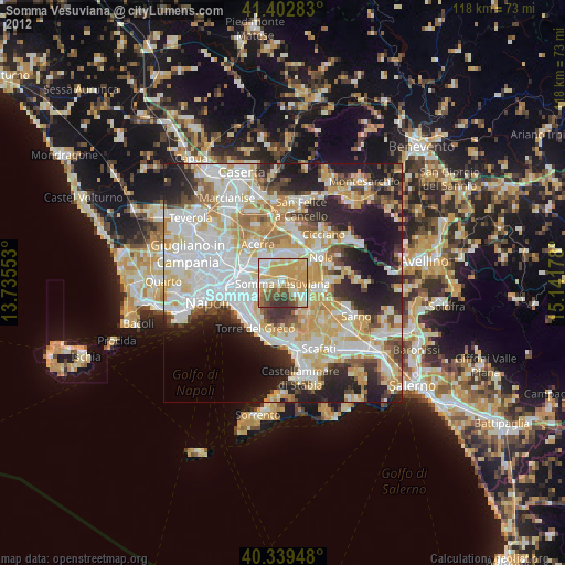
» Earth at Night: Flat Maps 2012, 2016