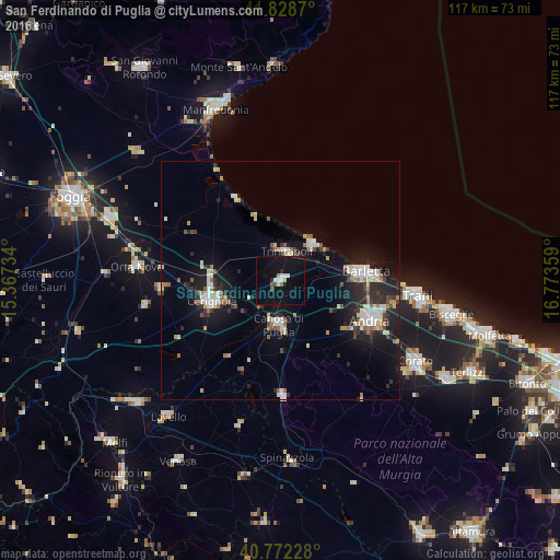
San Ferdinando di Puglia night lights from space
Night Light of San Ferdinando di Puglia (Apulia) from space (Italy) Src. Average luminocity for 10x10km area is 13.1282% and for 50x50km: 9.1038%.
Analysis of San Ferdinando di Puglia night lights 2016
Square area 10x10 km:
 1.46%
1.46%90-99
1.79%80-89
1.79%70-79
0.16%60-69
1.14%50-59
0.81%40-49
1.3%30-39
0%20-29
1.3%10-19
18.99%0-9
71.27%Square area 50x50 km:
1.25%90-99
1.72%80-89
0.91%70-79
0.76%60-69
0.93%50-59
0.92%40-49
0.74%30-39
1.11%20-29
3.07%10-19
7.66%0-9
80.93%Clear (daylight) street map image can be seen on geolist.org.
Map coordinates:
41° 49' 43.3" North, 15° 22' 2.4" East
41° 18' 9.5" North, 16° 4' 13.7" East
40° 46' 20.2" North, 16° 46' 24.9" East
Some cities around San Ferdinando di Puglia sort by population:
• Andria
20.6 km =12.8 mi,  112°
112°
• Barletta
17.7 km =11 mi,  85°
85°
• Cerignola
15.2 km =9.4 mi,  254°
254°
• Canosa di Puglia
9.2 km =5.7 mi,  181°
181°
• Trinitapoli
6.2 km =3.9 mi,  14°
14°
• Margherita di Savoia
10.3 km =6.4 mi,  41°
41°
• Minervino Murge
24.5 km =15.2 mi, 178°
• Stornara
25.2 km =15.7 mi,  265°
265°
3168388 (p: 13,734)
Sources (retrieved 2019-11-25):
» Earth at Night: Flat Maps 2012, 2016