Renon - Ritten night lights from space
Night Light of Renon - Ritten (Trentino-Alto Adige) from space (Italy) Src. Average luminocity for 10x10km area is 0.5866% and for 50x50km: 4.1019%.
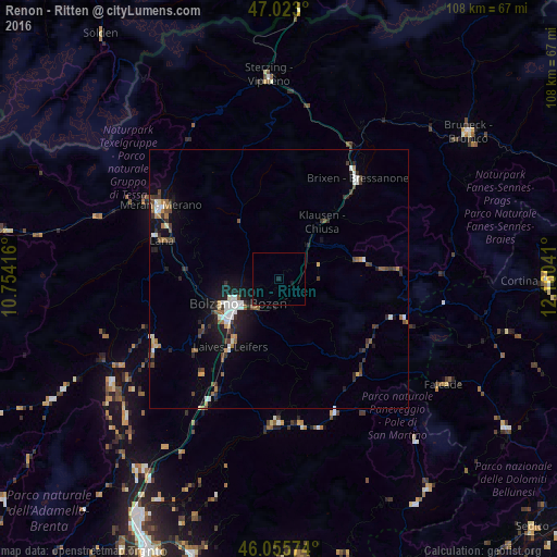
Analysis of Renon - Ritten night lights 2016
Square area 10x10 km:
 0%
0%90-99
0%80-89
0%70-79
0%60-69
0%50-59
0%40-49
0%30-39
0%20-29
0%10-19
1.14%0-9
98.86%Square area 50x50 km:
0.56%90-99
0.63%80-89
0.25%70-79
0.39%60-69
0.41%50-59
0.55%40-49
0.63%30-39
0.88%20-29
1%10-19
2.89%0-9
91.81%Clear (daylight) street map image can be seen on geolist.org.
Map coordinates:
47° 1' 22.8" North, 10° 45' 15" East
46° 32' 29.5" North, 11° 27' 26.2" East
46° 3' 20.7" North, 12° 9' 37.5" East
Some cities around Renon - Ritten sort by population:
• Bolzano
10.6 km =6.6 mi,  237°
237°
• Merano
26.8 km =16.7 mi,  301°
301°
• Bressanone
24.5 km =15.2 mi,  38°
38°
• Laives
15.7 km =9.8 mi,  215°
215°
• Lana
24.3 km =15.1 mi,  288°
288°
• Caldaro sulla Strada del Vino
21.6 km =13.4 mi,  228°
228°
• San Michele
17.8 km =11.1 mi, 237°
• Cles
38.1 km =23.7 mi, 238°
6534786 (p: 6,993)
Sources (retrieved 2019-11-25):
» Earth at Night: Flat Maps 2012, 2016