Bolzano night lights from space
Night Light of Bolzano (Trentino-Alto Adige) from space (Italy) Src. Average luminocity for 10x10km area is 30.6222% and for 50x50km: 5.6354%.
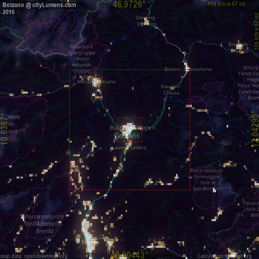

Analysis of Bolzano night lights 2016
Square area 10x10 km:
 8.24%
8.24%90-99
7.1%80-89
0.99%70-79
1.85%60-69
1.14%50-59
3.41%40-49
1.85%30-39
2.56%20-29
9.23%10-19
38.78%0-9
24.86%Square area 50x50 km:
0.58%90-99
0.72%80-89
0.42%70-79
0.74%60-69
0.73%50-59
0.81%40-49
0.88%30-39
0.96%20-29
1.35%10-19
4.56%0-9
88.25%Clear (daylight) street map image can be seen on geolist.org.
Map coordinates:
46° 58' 21.4" North, 10° 38' 12.1" East
46° 29' 26.4" North, 11° 20' 23.4" East
46° 0' 15.9" North, 12° 2' 34.6" East
Some cities around Bolzano sort by population:
• Merano
24.1 km =15 mi,  325°
325°
• Bressanone
34.7 km =21.6 mi,  44°
44°
• Laives
7.1 km =4.4 mi,  180°
180°
• Lana
19.5 km =12.1 mi,  313°
313°
• Renon - Ritten
10.6 km =6.6 mi,  57°
57°
• Caldaro sulla Strada del Vino
11.2 km =7 mi,  219°
219°
• San Michele
7.2 km =4.5 mi,  236°
236°
• Cles
27.5 km =17.1 mi, 238°
3181913 (p: 99,049)
Sources (retrieved 2019-11-25):
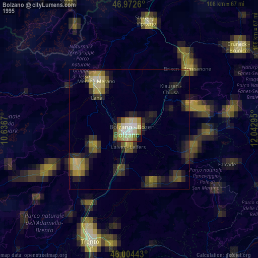
» NASA, Earths city lights 1995
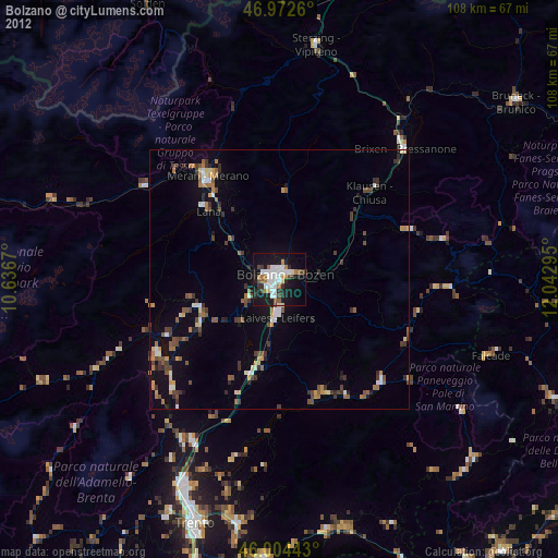
» NASA city lights 2003
» Earth at Night: Flat Maps 2012, 2016