Merano night lights from space
Night Light of Merano (Trentino-Alto Adige) from space (Italy) Src. Average luminocity for 10x10km area is 17.571% and for 50x50km: 2.7284%.
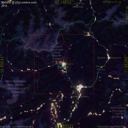
Analysis of Merano night lights 2016
Square area 10x10 km:
 1.7%
1.7%90-99
1.85%80-89
0.99%70-79
1.99%60-69
3.41%50-59
2.7%40-49
3.27%30-39
4.69%20-29
1.7%10-19
14.77%0-9
62.93%Square area 50x50 km:
0.43%90-99
0.43%80-89
0.13%70-79
0.21%60-69
0.26%50-59
0.47%40-49
0.36%30-39
0.45%20-29
0.69%10-19
2.48%0-9
94.09%Clear (daylight) street map image can be seen on geolist.org.
Map coordinates:
47° 8' 54.7" North, 10° 27' 23.1" East
46° 40' 5.4" North, 11° 9' 34.3" East
46° 11' 0.7" North, 11° 51' 45.6" East
Some cities around Merano sort by population:
• Bolzano
24.1 km =15 mi,  145°
145°
• Laives
30.1 km =18.7 mi, 152°
• Lana
6.2 km =3.9 mi,  182°
182°
• Renon - Ritten
26.8 km =16.7 mi,  121°
121°
• Caldaro sulla Strada del Vino
29.1 km =18.1 mi,  166°
166°
• San Michele
25 km =15.5 mi,  161°
161°
• Cles
35.3 km =21.9 mi,  195°
195°
• Vipiteno
32.4 km =20.1 mi,  39°
39°
3173577 (p: 33,453)
Sources (retrieved 2019-11-25):
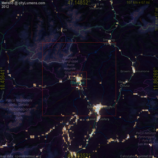
» Earth at Night: Flat Maps 2012, 2016