Ostuni night lights from space
Night Light of Ostuni (Apulia) from space (Italy) Src. Average luminocity for 10x10km area is 24.086% and for 50x50km: 15.3757%.
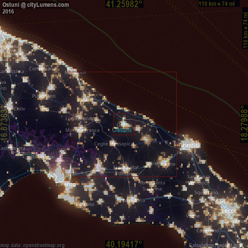
Analysis of Ostuni night lights 2016
Square area 10x10 km:
 2.92%
2.92%90-99
2.44%80-89
3.08%70-79
2.27%60-69
2.44%50-59
3.25%40-49
1.14%30-39
3.25%20-29
5.68%10-19
49.84%0-9
23.7%Square area 50x50 km:
1.2%90-99
1.79%80-89
1.88%70-79
1.71%60-69
2.21%50-59
2%40-49
1.75%30-39
2.48%20-29
4.69%10-19
19.4%0-9
60.9%Clear (daylight) street map image can be seen on geolist.org.
Map coordinates:
41° 15' 35.4" North, 16° 52' 25.1" East
40° 43' 44.9" North, 17° 34' 36.3" East
40° 11' 39" North, 18° 16' 47.6" East
Some cities around Ostuni sort by population:
• Martina Franca
20.3 km =12.6 mi,  261°
261°
• San Vito dei Normanni
13.7 km =8.5 mi,  126°
126°
• Ceglie Messapica
10.5 km =6.5 mi,  208°
208°
• Carovigno
7.3 km =4.5 mi,  110°
110°
• Locorotondo
21.5 km =13.4 mi,  278°
278°
• Villa Castelli
18.4 km =11.4 mi, 207°
• San Michele Salentino
11.8 km =7.3 mi,  156°
156°
• Cisternino
12.8 km =8 mi, 277°
3171786 (p: 24,157)
Sources (retrieved 2019-11-25):
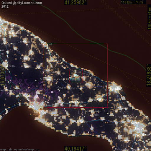
» Earth at Night: Flat Maps 2012, 2016