Nardò night lights from space
Night Light of Nardò (Apulia) from space (Italy) Src. Average luminocity for 10x10km area is 40.901% and for 50x50km: 27.4396%.

Analysis of Nardò night lights 2016
Square area 10x10 km:
100  5.36%
5.36%
90-99 7.14%
80-89 6.01%
70-79 6.17%
60-69 3.41%
50-59 5.36%
40-49 3.57%
30-39 9.25%
20-29 13.47%
10-19 35.06%
0-9 5.19%
5.36%90-99
7.14%80-89
6.01%70-79
6.17%60-69
3.41%50-59
5.36%40-49
3.57%30-39
9.25%20-29
13.47%10-19
35.06%0-9
5.19%Square area 50x50 km:
100 3.29%
90-99 5.36%
80-89 3.3%
70-79 3.07%
60-69 3.93%
50-59 2.87%
40-49 3.07%
30-39 5.14%
20-29 14.74%
10-19 16.63%
0-9 38.6%
3.29%90-99
5.36%80-89
3.3%70-79
3.07%60-69
3.93%50-59
2.87%40-49
3.07%30-39
5.14%20-29
14.74%10-19
16.63%0-9
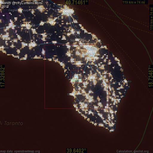
38.6%Clear (daylight) street map image can be seen on geolist.org.
Map coordinates:
40° 42' 52.6" North, 17° 19' 43" East
40° 10' 46.3" North, 18° 1' 54.3" East
39° 38' 24.7" North, 18° 44' 5.5" East
Some cities around Nardò sort by population:
• Copertino
10 km =6.2 mi,  10°
10°
• Galatina
11.8 km =7.3 mi,  92°
92°
• Galatone
4.9 km =3 mi,  138°
138°
• Leverano
12.5 km =7.8 mi,  346°
346°
• Aradeo
10 km =6.2 mi,  123°
123°
• Alezio
13.2 km =8.2 mi,  170°
170°
• Neviano
10.8 km =6.7 mi, 138°
• Tuglie
13.1 km =8.1 mi,  154°
154°
3172379 (p: 29,668)
Sources (retrieved 2019-11-25):
» Earth at Night: Flat Maps 2012, 2016