Mascalucia night lights from space
Night Light of Mascalucia (Sicily) from space (Italy) Src. Average luminocity for 10x10km area is 89.7296% and for 50x50km: 24.0238%.
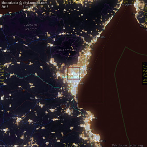
Analysis of Mascalucia night lights 2016
Square area 10x10 km:
 26.53%
90-99
33.5%80-89
19.73%70-79
11.73%60-69
5.44%50-59
2.55%40-49
0.51%30-39
0%20-29
0%10-19
0%0-9
0%Square area 50x50 km:
4.14%90-99
4.6%80-89
3.46%70-79
3.65%60-69
3.99%50-59
2.21%40-49
2.16%30-39
3.06%20-29
6.16%10-19
10.94%0-9
55.61%Clear (daylight) street map image can be seen on geolist.org.
Map coordinates:
38° 7' 47.4" North, 14° 20' 47.5" East
37° 34' 28.7" North, 15° 2' 58.7" East
37° 0' 55.1" North, 15° 45' 10" East
Some cities around Mascalucia sort by population:
• Gravina di Catania
1.9 km =1.2 mi,  142°
142°
• San Giovanni la Punta
3.9 km =2.4 mi,  86°
86°
• Tremestieri Etneo
2.8 km =1.7 mi,  112°
112°
• Pedara
5.5 km =3.4 mi,  6°
6°
• Trecastagni
5.2 km =3.2 mi,  28°
28°
• Sant'Agata Li Battiati
3.3 km =2.1 mi,  125°
125°
• San Pietro Clarenza
2.4 km =1.5 mi,  254°
254°
• San Gregorio di Catania
5.5 km =3.4 mi,  98°
98°
2524236 (p: 29,910)
Sources (retrieved 2019-11-25):
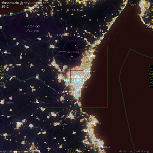
» Earth at Night: Flat Maps 2012, 2016