Gravina di Catania night lights from space
Night Light of Gravina di Catania (Sicily) from space (Italy) Src. Average luminocity for 10x10km area is 93.0406% and for 50x50km: 23.4528%.
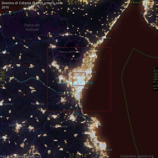
Analysis of Gravina di Catania night lights 2016
Square area 10x10 km:
 35.39%
90-99
36.69%80-89
15.26%70-79
8.93%60-69
3.08%50-59
0.49%40-49
0.16%30-39
0%20-29
0%10-19
0%0-9
0%Square area 50x50 km:
4.03%90-99
4.48%80-89
3.38%70-79
3.54%60-69
3.86%50-59
2.17%40-49
2.12%30-39
3.06%20-29
5.89%10-19
10.81%0-9
56.67%Clear (daylight) street map image can be seen on geolist.org.
Map coordinates:
38° 6' 58.1" North, 14° 21' 35.3" East
37° 33' 39.1" North, 15° 3' 46.5" East
37° 0' 5" North, 15° 45' 57.8" East
Some cities around Gravina di Catania sort by population:
• Mascalucia
1.9 km =1.2 mi,  322°
322°
• San Giovanni la Punta
3.2 km =2 mi,  56°
56°
• Tremestieri Etneo
1.5 km =0.9 mi,  71°
71°
• Trecastagni
6.2 km =3.9 mi,  12°
12°
• Sant'Agata Li Battiati
1.6 km =1 mi,  104°
104°
• Canalicchio
3.7 km =2.3 mi,  126°
126°
• San Pietro Clarenza
3.6 km =2.2 mi,  284°
284°
• San Gregorio di Catania
4.3 km =2.7 mi,  79°
79°
6534275 (p: 26,524)
Sources (retrieved 2019-11-25):
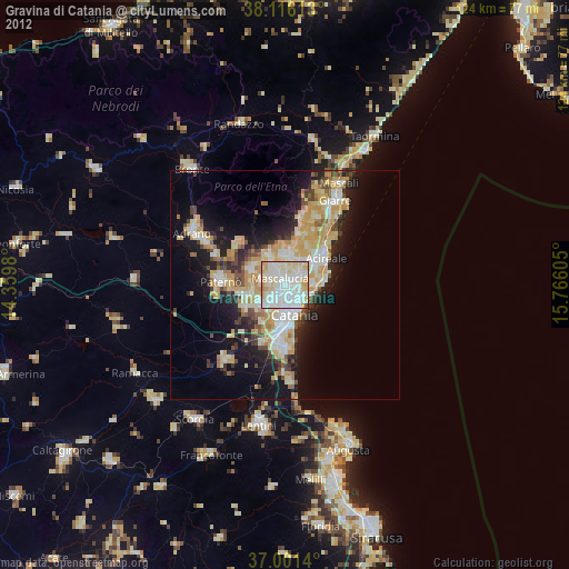
» Earth at Night: Flat Maps 2012, 2016