Marmirolo night lights from space
Night Light of Marmirolo (Lombardy) from space (Italy) Src. Average luminocity for 10x10km area is 37.9091% and for 50x50km: 33.6629%.
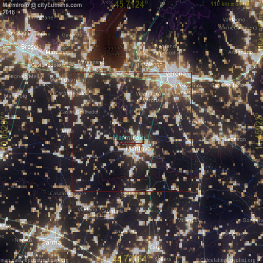
Analysis of Marmirolo night lights 2016
Square area 10x10 km:
 5.45%
5.45%90-99
7.88%80-89
4.39%70-79
1.97%60-69
2.27%50-59
3.48%40-49
5.3%30-39
6.97%20-29
26.36%10-19
35.76%0-9
0.15%Square area 50x50 km:
4.95%90-99
6.54%80-89
3.09%70-79
3.08%60-69
3.81%50-59
4.41%40-49
4.48%30-39
5.23%20-29
13.32%10-19
32.31%0-9
18.78%Clear (daylight) street map image can be seen on geolist.org.
Map coordinates:
45° 42' 44.6" North, 10° 3' 10.7" East
45° 13' 9.4" North, 10° 45' 21.9" East
44° 43' 18.6" North, 11° 27' 33.2" East
Some cities around Marmirolo sort by population:
• Mantova
7.3 km =4.5 mi,  153°
153°
• Villafranca di Verona
16.5 km =10.3 mi,  24°
24°
• Sant'Antonio
3.9 km =2.4 mi,  130°
130°
• Valeggio sul Mincio
15 km =9.3 mi,  354°
354°
• Mottella
9.3 km =5.8 mi, 131°
• Cerese
11.5 km =7.1 mi,  167°
167°
• Goito
8.2 km =5.1 mi,  295°
295°
• Eremo
9.9 km =6.2 mi,  186°
186°
3173895 (p: 5,276)
Sources (retrieved 2019-11-25):
» Earth at Night: Flat Maps 2012, 2016