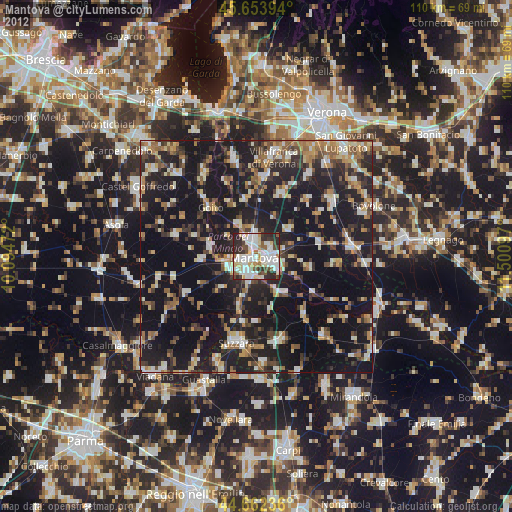
Mantova night lights from space
Night Light of Mantova (Lombardy) from space (Italy) Src. Average luminocity for 10x10km area is 68.5833% and for 50x50km: 29.5928%.
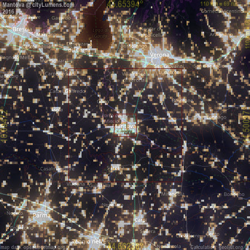
Analysis of Mantova night lights 2016
Square area 10x10 km:
 17.58%
90-99
23.33%80-89
6.36%70-79
6.52%60-69
3.33%50-59
7.73%40-49
7.73%30-39
14.55%20-29
12.88%10-19
0%0-9
0%Square area 50x50 km:
3.12%90-99
5.37%80-89
2.67%70-79
2.79%60-69
3.17%50-59
4.12%40-49
4%30-39
4.43%20-29
11.72%10-19
37.81%0-9
20.8%Clear (daylight) street map image can be seen on geolist.org.
Map coordinates:
45° 39' 14.2" North, 10° 5' 41" East
45° 9' 37.1" North, 10° 47' 52.2" East
44° 39' 44.5" North, 11° 30' 3.5" East
Some cities around Mantova sort by population:
• Suzzara
19.1 km =11.9 mi,  192°
192°
• Sant'Antonio
4 km =2.5 mi,  355°
355°
• Mottella
3.7 km =2.3 mi,  83°
83°
• Cerese
4.7 km =2.9 mi, 188°
• Goito
14.7 km =9.1 mi,  313°
313°
• San Benedetto Po
16.6 km =10.3 mi,  139°
139°
• Marmirolo
7.3 km =4.5 mi,  333°
333°
• Eremo
5.4 km =3.4 mi,  233°
233°
3174051 (p: 39,260)
Sources (retrieved 2019-11-25):
» Earth at Night: Flat Maps 2012, 2016