Manduria night lights from space
Night Light of Manduria (Apulia) from space (Italy) Src. Average luminocity for 10x10km area is 30.7772% and for 50x50km: 15.6589%.
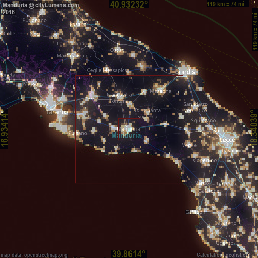
Analysis of Manduria night lights 2016
Square area 10x10 km:
 4.42%
4.42%90-99
5.1%80-89
6.12%70-79
1.7%60-69
2.89%50-59
2.21%40-49
2.72%30-39
3.06%20-29
5.44%10-19
52.72%0-9
13.61%Square area 50x50 km:
1.44%90-99
2.33%80-89
1.77%70-79
1.48%60-69
2.19%50-59
1.65%40-49
1.62%30-39
1.54%20-29
3.76%10-19
22.29%0-9
59.92%Clear (daylight) street map image can be seen on geolist.org.
Map coordinates:
40° 55' 56.4" North, 16° 56' 2.9" East
40° 23' 56.4" North, 17° 38' 14.1" East
39° 51' 41" North, 18° 20' 25.4" East
Some cities around Manduria sort by population:
• Francavilla Fontana
15.3 km =9.5 mi,  343°
343°
• Sava
7.2 km =4.5 mi,  272°
272°
• Oria
11.2 km =7 mi,  2°
2°
• Torre Santa Susanna
11.5 km =7.1 mi,  48°
48°
• San Marzano di San Giuseppe
12.9 km =8 mi,  298°
298°
• Erchie
9.3 km =5.8 mi,  63°
63°
• Avetrana
9.7 km =6 mi,  123°
123°
• Fragagnano
14.1 km =8.8 mi,  284°
284°
3174096 (p: 27,411)
Sources (retrieved 2019-11-25):
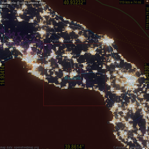
» Earth at Night: Flat Maps 2012, 2016