Magenta night lights from space
Night Light of Magenta (Lombardy) from space (Italy) Src. Average luminocity for 10x10km area is 66.2905% and for 50x50km: 55.313%.
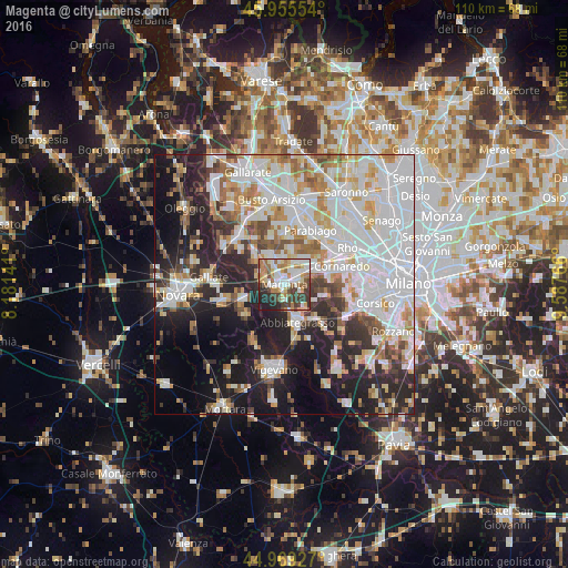
Analysis of Magenta night lights 2016
Square area 10x10 km:
 14.76%
90-99
16.67%80-89
7.46%70-79
8.41%60-69
13.33%50-59
6.51%40-49
8.41%30-39
12.54%20-29
9.05%10-19
2.86%0-9
0%Square area 50x50 km:
18.94%90-99
13.57%80-89
4.96%70-79
5.47%60-69
5.77%50-59
4.18%40-49
4.21%30-39
4.66%20-29
11.58%10-19
15.08%0-9
11.57%Clear (daylight) street map image can be seen on geolist.org.
Map coordinates:
45° 57' 19.9" North, 8° 10' 53.1" East
45° 27' 52.4" North, 8° 53' 4.3" East
44° 58' 9.4" North, 9° 35' 15.6" East
Some cities around Magenta sort by population:
• Abbiategrasso
7.8 km =4.8 mi,  161°
161°
• Corbetta
2.7 km =1.7 mi,  83°
83°
• Sedriano
7.4 km =4.6 mi,  66°
66°
• Arluno
6.2 km =3.9 mi,  46°
46°
• Vittuone
5.8 km =3.6 mi,  63°
63°
• Cuggiono
7.1 km =4.4 mi,  311°
311°
• Inveruno
6.1 km =3.8 mi,  333°
333°
• Casorezzo
6.6 km =4.1 mi,  11°
11°
3174295 (p: 22,566)
Sources (retrieved 2019-11-25):
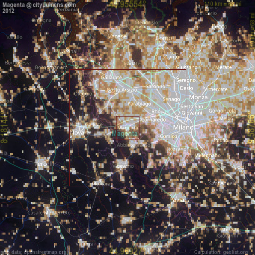
» Earth at Night: Flat Maps 2012, 2016