Inveruno night lights from space
Night Light of Inveruno (Lombardy) from space (Italy) Src. Average luminocity for 10x10km area is 69.8909% and for 50x50km: 55.819%.
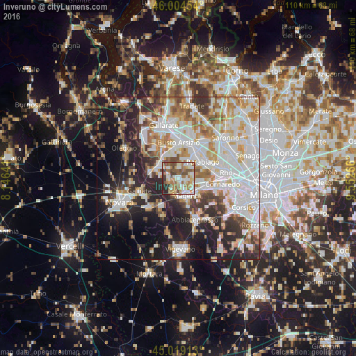
Analysis of Inveruno night lights 2016
Square area 10x10 km:
 13.94%
90-99
17.27%80-89
9.39%70-79
8.33%60-69
17.73%50-59
9.55%40-49
11.67%30-39
5%20-29
7.12%10-19
0%0-9
0%Square area 50x50 km:
16.46%90-99
14.2%80-89
5.15%70-79
6.27%60-69
6.86%50-59
5.1%40-49
4.92%30-39
5.9%20-29
11.09%10-19
13.88%0-9
10.18%Clear (daylight) street map image can be seen on geolist.org.
Map coordinates:
46° 0' 16.3" North, 8° 8' 47.1" East
45° 30' 50.4" North, 8° 50' 58.3" East
45° 1' 8.9" North, 9° 33' 9.6" East
Some cities around Inveruno sort by population:
• Magenta
6.1 km =3.8 mi,  153°
153°
• Busto Garolfo
4.6 km =2.9 mi,  34°
34°
• Castano Primo
7.1 km =4.4 mi,  306°
306°
• Cuggiono
2.8 km =1.7 mi,  253°
253°
• Arconate
3 km =1.9 mi,  359°
359°
• Villa Cortese
6.5 km =4 mi, 26°
• Dairago
5.9 km =3.7 mi,  10°
10°
• Casorezzo
4.2 km =2.6 mi,  76°
76°
3175494 (p: 7,342)
Sources (retrieved 2019-11-25):
» Earth at Night: Flat Maps 2012, 2016