Lucera night lights from space
Night Light of Lucera (Apulia) from space (Italy) Src. Average luminocity for 10x10km area is 18.1616% and for 50x50km: 7.4985%.
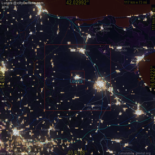
Analysis of Lucera night lights 2016
Square area 10x10 km:
 2.21%
2.21%90-99
5.27%80-89
0%70-79
1.19%60-69
2.55%50-59
3.4%40-49
0.68%30-39
2.72%20-29
1.02%10-19
12.24%0-9
68.71%Square area 50x50 km:
1%90-99
1.31%80-89
0.74%70-79
0.87%60-69
0.82%50-59
1.15%40-49
0.8%30-39
0.97%20-29
1.67%10-19
5.33%0-9
85.34%Clear (daylight) street map image can be seen on geolist.org.
Map coordinates:
42° 1' 47.7" North, 14° 38' 9.5" East
41° 30' 19.8" North, 15° 20' 20.8" East
40° 58' 36.5" North, 16° 2' 32" East
Some cities around Lucera sort by population:
• Foggia
18.5 km =11.5 mi,  106°
106°
• San Severo
20.3 km =12.6 mi,  9°
9°
• Torremaggiore
20.7 km =12.9 mi,  349°
349°
• San Marco in Lamis
33.9 km =21.1 mi,  47°
47°
• Apricena
32.4 km =20.1 mi,  15°
15°
• Troia
15.8 km =9.8 mi,  186°
186°
• Carapelle
33.5 km =20.8 mi,  118°
118°
• San Paolo di Civitate
26.8 km =16.7 mi, 345°
3174526 (p: 32,222)
Sources (retrieved 2019-11-25):
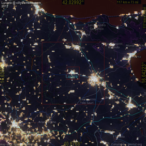
» Earth at Night: Flat Maps 2012, 2016