Foggia night lights from space
Night Light of Foggia (Apulia) from space (Italy) Src. Average luminocity for 10x10km area is 61.3946% and for 50x50km: 8.486%.
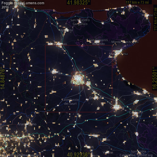
Analysis of Foggia night lights 2016
Square area 10x10 km:
 12.41%
90-99
14.29%80-89
4.42%70-79
10.54%60-69
10.03%50-59
10.88%40-49
9.86%30-39
6.8%20-29
12.76%10-19
7.99%0-9
0%Square area 50x50 km:
0.87%90-99
1.51%80-89
0.98%70-79
0.81%60-69
1.07%50-59
1.21%40-49
0.67%30-39
1.01%20-29
2.01%10-19
7.27%0-9
82.59%Clear (daylight) street map image can be seen on geolist.org.
Map coordinates:
41° 58' 59.7" North, 14° 50' 55.5" East
41° 27' 30.4" North, 15° 33' 6.8" East
40° 55' 45.7" North, 16° 15' 18" East
Some cities around Foggia sort by population:
• San Severo
29 km =18 mi,  330°
330°
• Lucera
18.5 km =11.5 mi,  286°
286°
• Orta Nova
19.5 km =12.1 mi,  137°
137°
• San Marco in Lamis
29.1 km =18.1 mi,  14°
14°
• Troia
22.2 km =13.8 mi,  241°
241°
• Carapelle
15.9 km =9.9 mi,  131°
131°
• Ascoli Satriano
28.4 km =17.6 mi,  177°
177°
• Stornara
26.4 km =16.4 mi, 136°
3176885 (p: 137,032)
Sources (retrieved 2019-11-25):
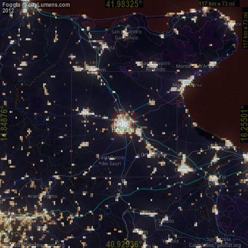
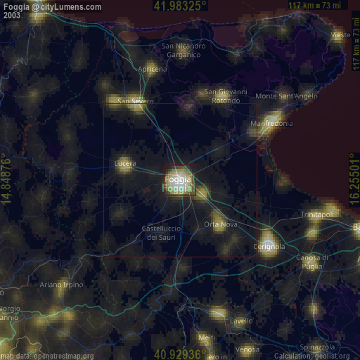
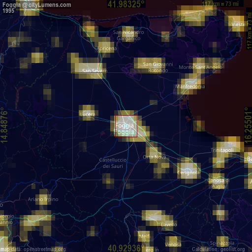
» NASA, Earths city lights 1995
» NASA city lights 2003
» Earth at Night: Flat Maps 2012, 2016