Latina night lights from space
Night Light of Latina (Latium) from space (Italy) Src. Average luminocity for 10x10km area is 65.9592% and for 50x50km: 22.0214%.
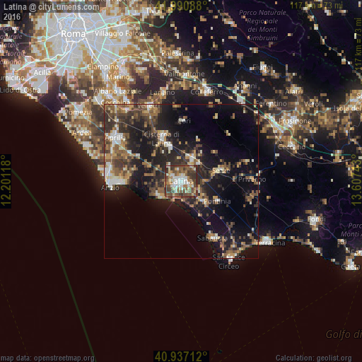
Analysis of Latina night lights 2016
Square area 10x10 km:
 12.24%
90-99
14.63%80-89
9.35%70-79
4.08%60-69
10.88%50-59
15.65%40-49
17.69%30-39
13.27%20-29
2.21%10-19
0%0-9
0%Square area 50x50 km:
1.9%90-99
3.06%80-89
2.39%70-79
2.17%60-69
3.02%50-59
4.45%40-49
4.71%30-39
5.17%20-29
7.42%10-19
16.43%0-9
49.27%Clear (daylight) street map image can be seen on geolist.org.
Map coordinates:
41° 59' 27.2" North, 12° 12' 4.2" East
41° 27' 58.1" North, 12° 54' 15.5" East
40° 56' 13.6" North, 13° 36' 26.7" East
Some cities around Latina sort by population:
• Anzio
23.6 km =14.7 mi,  266°
266°
• Nettuno
20 km =12.4 mi, 267°
• Cisterna di Latina
15.2 km =9.4 mi,  335°
335°
• Sezze
13.7 km =8.5 mi,  73°
73°
• Priverno
22.9 km =14.2 mi,  88°
88°
• Sabaudia
21.1 km =13.1 mi,  150°
150°
• Pontinia
13.1 km =8.1 mi,  118°
118°
• Cori
19.7 km =12.2 mi,  1°
1°
3175058 (p: 76,305)
Sources (retrieved 2019-11-25):
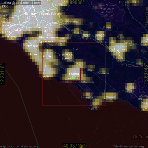
» NASA, Earths city lights 1995
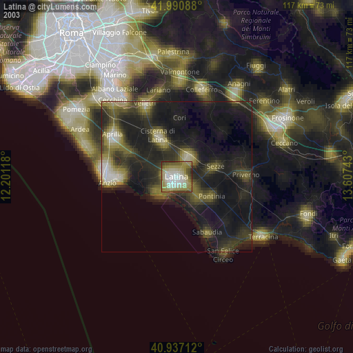
» NASA city lights 2003
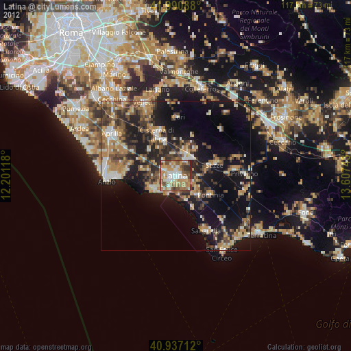
» Earth at Night: Flat Maps 2012, 2016