Nettuno night lights from space
Night Light of Nettuno (Latium) from space (Italy) Src. Average luminocity for 10x10km area is 46.6378% and for 50x50km: 20.4849%.
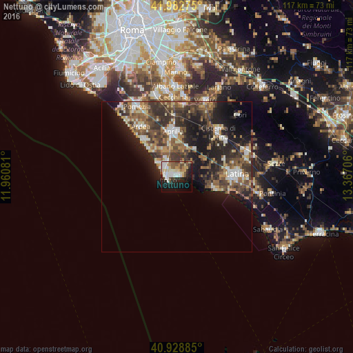
Analysis of Nettuno night lights 2016
Square area 10x10 km:
 11.05%
90-99
10.03%80-89
7.99%70-79
4.25%60-69
3.74%50-59
6.29%40-49
5.1%30-39
2.72%20-29
10.03%10-19
25.68%0-9
13.1%Square area 50x50 km:
2.12%90-99
3.43%80-89
2.14%70-79
2.27%60-69
2.83%50-59
4.04%40-49
4.47%30-39
5.24%20-29
6.99%10-19
11.23%0-9
55.25%Clear (daylight) street map image can be seen on geolist.org.
Map coordinates:
41° 58' 57.9" North, 11° 57' 38.9" East
41° 27' 28.6" North, 12° 39' 50.1" East
40° 55' 43.9" North, 13° 22' 1.4" East
Some cities around Nettuno sort by population:
• Latina
20 km =12.4 mi,  87°
87°
• Anzio
3.6 km =2.2 mi,  260°
260°
• Aprilia
15.2 km =9.4 mi,  356°
356°
• Cisterna di Latina
20.1 km =12.5 mi,  42°
42°
• Marina di Ardea-Tor San Lorenzo
14.8 km =9.2 mi,  316°
316°
• Ardea
19.5 km =12.1 mi,  328°
328°
• Lavinio
8 km =5 mi,  309°
309°
• Lanuvio
24 km =14.9 mi,  5°
5°
3172287 (p: 44,756)
Sources (retrieved 2019-11-25):
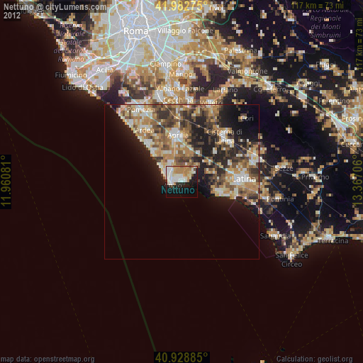
» Earth at Night: Flat Maps 2012, 2016