Gallipoli night lights from space
Night Light of Gallipoli (Apulia) from space (Italy) Src. Average luminocity for 10x10km area is 24.4708% and for 50x50km: 18.3274%.
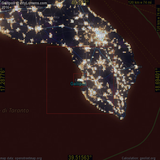
Analysis of Gallipoli night lights 2016
Square area 10x10 km:
 3.08%
3.08%90-99
4.38%80-89
1.95%70-79
1.79%60-69
4.38%50-59
2.6%40-49
1.14%30-39
3.41%20-29
12.5%10-19
27.76%0-9
37.01%Square area 50x50 km:
1.78%90-99
3.12%80-89
2.15%70-79
2.15%60-69
2.41%50-59
1.56%40-49
1.79%30-39
3.66%20-29
12.02%10-19
15.43%0-9
53.93%Clear (daylight) street map image can be seen on geolist.org.
Map coordinates:
40° 35' 31.2" North, 17° 17' 15.9" East
40° 3' 21.4" North, 17° 59' 27.2" East
39° 30' 56.3" North, 18° 41' 38.4" East
Some cities around Gallipoli sort by population:
• Galatone
12.1 km =7.5 mi,  33°
33°
• Taviano
11.3 km =7 mi,  136°
136°
• Matino
12.7 km =7.9 mi,  102°
102°
• Racale
13.6 km =8.5 mi, 140°
• Parabita
11.6 km =7.2 mi,  92°
92°
• Alezio
5.7 km =3.5 mi,  82°
82°
• Neviano
12 km =7.5 mi,  62°
62°
• Tuglie
9.4 km =5.8 mi, 78°
3176366 (p: 19,176)
Sources (retrieved 2019-11-25):
» Earth at Night: Flat Maps 2012, 2016